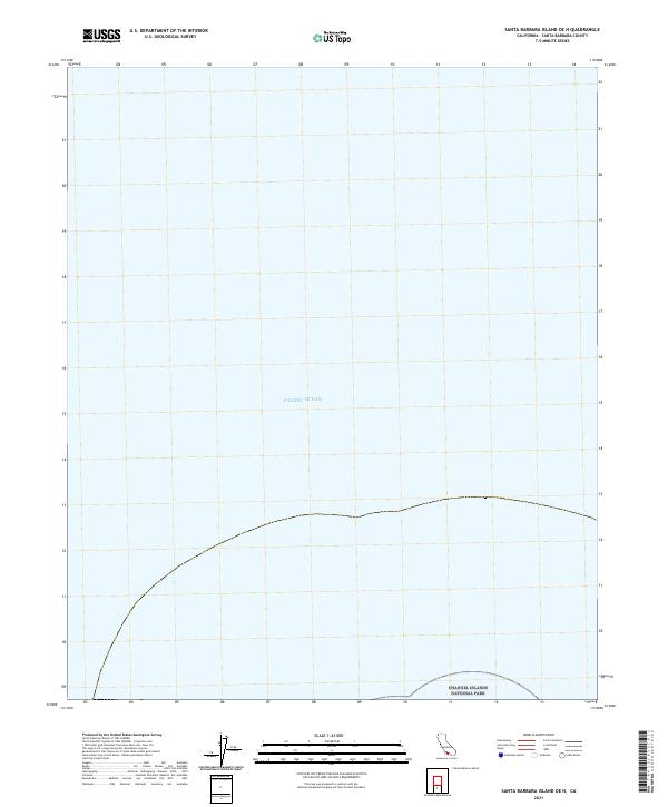
2021 Map of Santa Barbara Island OE N
USGS Topo · Published 2021About this map
The vast expanse of the Pacific Ocean dominates this offshore survey, capturing the maritime boundaries north of Santa Barbara Island. This specific quadrangle covers a significant marine area within the Channel Islands National Park, illustrating the remote oceanic territory managed by the Department of the Interior. While the map is centered on open water, it serves as a critical spatial record for the protected waters surrounding California's least-visited national park islands. The lack of terrestrial features or contour lines highlights the isolated nature of this marine environment, where the primary focus is the intersection of federal maritime jurisdiction and the open sea during the early twenty-first century.
Find a feature on this map
2 named features on this map. Tap any name to fly to it.
Don’t see what you’re looking for? This feature index may not catch every label — zoom into the map to look around manually.
Map Details
Editions of this 2021 Santa Barbara Island OE N Map
This is the sole edition of this map. No revisions or reprints were ever made.
Other maps of this area

1949 · Long Beach
USGS Topo · 1:250,000

1957 · Long Beach
USGS Topo · 1:250,000

1958 · Long Beach
USGS Topo · 1:250,000

1960 · Long Beach
USGS Topo · 1:250,000
1981 · Santa Catalina Island
USGS Topo · 1:100,000
1981 · Long Beach
USGS Topo · 1:100,000
1984 · Laguna Harbor
USGS Topo · 1:100,000
1993 · San Nicolas Island
USGS Topo · 1:100,000
2012 · Santa Barbara Island
USGS Topo · 1:24,000
2012 · Santa Barbara Island OE N
USGS Topo · 1:24,000