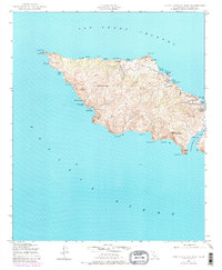
1943 Map of Santa Catalina West
USGS Topo · Published 1980About this map
Silver Peak rises as the central height of this western portion of Santa Catalina Island, showing a landscape defined by sharp ridges and deep coastal inlets. Mapped by the Army Corps of Engineers using 1943 photography, the map reveals the island's isolated character during the war years. Navigation and maritime safety are anchored by the Catalina Island West End Light at Lands End, while the island's interior and coastline show signs of specialized development, including the Girl Scouts Camp at Emerald Bay and a Quarry near Arrow Point. The narrow isthmus creates a distinctive double-harbor formation between Catalina Harbor and the northern coves, a geography that has historically concentrated activity in this part of the island. Landings such as Parsons Landing and Johnsons Landing suggest the importance of sea-access points in a period when the interior remained largely defined by heights like Mt Torquemada and the steep terrain surrounding Cherry Valley.
Find a feature on this map
37 named features on this map. Tap any name to fly to it.
Don’t see what you’re looking for? This feature index may not catch every label — zoom into the map to look around manually.
Map Details
Editions of this 1943 Santa Catalina West Map
4 editions found
Other maps of this area

1896 · San Pedro
USGS Topo · 1:62,500

1901 · Southern California Sheet No. 1
USGS Topo · 1:250,000

1904 · Southern California Sheet No. 1
USGS Topo · 1:250,000

1943 · San Pedro
USGS Topo · 1:125,000

1943 · Santa Catalina North
USGS Topo · 1:24,000

1943 · Santa Catalina South
USGS Topo · 1:24,000
1943 · Santa Catalina West
USGS Topo · 1:24,000
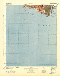
1944 · San Pedro
USGS Topo · 1:62,500

1949 · Long Beach
USGS Topo · 1:250,000
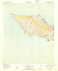
1950 · Santa Catalina West
USGS Topo · 1:24,000