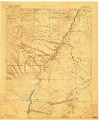
1892 Map of Santa Clara
USGS Topo · Published 1921About this map
The Rio Grande carves a deep path through northern New Mexico in this late 19th-century survey, flanked by a landscape defined by ancestral lands and the arrival of the rail. The Santa Clara Indian Reservation occupies the northern reaches, while the Bandelier National Monument highlights the prehistoric and natural significance of the Pajarito Canon region. Settlement patterns follow the river and its tributaries, from the northern hub of Española down to the traditional pueblos of San Ildefonso, Cochiti, and Santo Domingo.
Find a feature on this map
37 named features on this map. Tap any name to fly to it.
Don’t see what you’re looking for? This feature index may not catch every label — zoom into the map to look around manually.
Map Details
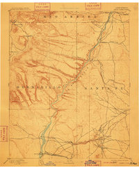
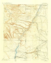
Editions of this 1892 Santa Clara Map
4 editions found
Other maps of this area

1888 · Bernalillo
USGS Topo · 1:125,000

1889 · Albuquerque
USGS Topo · 1:125,000

1889 · Santa Fe
USGS Topo · 1:125,000

1890 · Jemes
USGS Topo · 1:125,000

1892 · San Pedro
USGS Topo · 1:125,000

1892 · Jemes
USGS Topo · 1:125,000

1892 · Santa Clara
USGS Topo · 1:125,000

1893 · Albuquerque
USGS Topo · 1:125,000

1894 · Santa Fe
USGS Topo · 1:125,000

1894 · Lamy
USGS Topo · 1:125,000