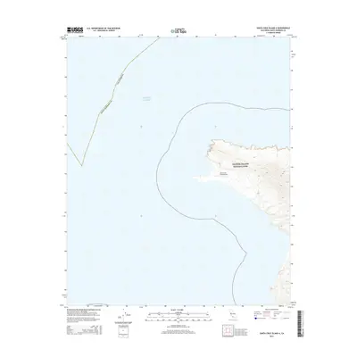
2015 Map of Santa Cruz Island A
USGS Topo · Published 2015About this map
The western edge of the largest of California's northern Channel Islands is revealed in this 2015 topographic study. Much of the land area shown is protected within the Channel Islands National Park, showcasing the island's steep, ridged topography and coastal cliffs that drop sharply into the Pacific Ocean. A significant feature on this portion of the island is the Santa Cruz Island Airport, a small landing strip that serves as a vital access point for conservation efforts and park management. The map also delineates the jurisdictional line for Santa Barbara County, illustrating how this offshore environment is integrated into the state's administrative boundaries while remaining a secluded natural preserve.
Find a feature on this map
4 named features on this map. Tap any name to fly to it.
Don’t see what you’re looking for? This feature index may not catch every label — zoom into the map to look around manually.
Map Details
Editions of this 2015 Santa Cruz Island A Map
This is the sole edition of this map. No revisions or reprints were ever made.
Other maps of this area
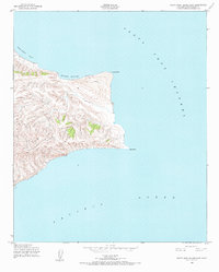
1943 · Santa Rosa Island East
USGS Topo · 1:24,000
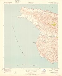
1943 · Santa Cruz Island A
USGS Topo · 1:24,000

1948 · Santa Maria
USGS Topo · 1:250,000

1949 · Los Angeles
USGS Topo · 1:250,000

1949 · Long Beach
USGS Topo · 1:250,000

1955 · Los Angeles
USGS Topo · 1:250,000

1956 · Santa Maria
USGS Topo · 1:250,000

1957 · Long Beach
USGS Topo · 1:250,000

1957 · Santa Maria
USGS Topo · 1:250,000

1958 · Santa Maria
USGS Topo · 1:250,000