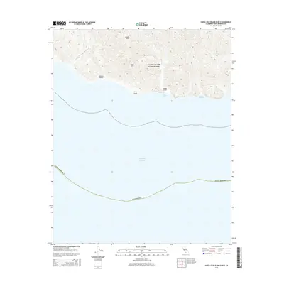
2015 Map of Santa Cruz Island B OE S
USGS Topo · Published 2015About this map
Channel Islands National Park encompasses the dramatic coastal relief of this island terrain, where steep ridges and deep drainages define the southern shoreline of Santa Cruz Island. The topography is marked by significant features such as Blanca Sierra and Cañada Posa, reflecting a landscape sculpted by erosion and maritime influence. Along the coast, the interface between the land and the Pacific Ocean is punctuated by Punta Arena and sheltered maritime locations including Laguna Harbor and Alamos Anchorage. These points and anchorages represent the critical geographic markers for navigation and island access in a region largely preserved in its natural state. The interior is bisected by narrow corridors like Johnston Canyon and Laguna Canyon, which provide a detailed look at the island's complex watershed systems as they existed in the early 21st century.
Find a feature on this map
11 named features on this map. Tap any name to fly to it.
Don’t see what you’re looking for? This feature index may not catch every label — zoom into the map to look around manually.
Map Details
Editions of this 2015 Santa Cruz Island B OE S Map
This is the sole edition of this map. No revisions or reprints were ever made.
Other maps of this area
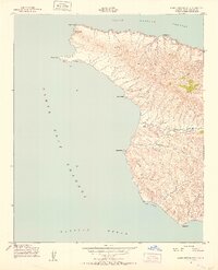
1943 · Santa Cruz Island A
USGS Topo · 1:24,000
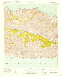
1943 · Santa Cruz Island B
USGS Topo · 1:24,000

1949 · Los Angeles
USGS Topo · 1:250,000

1949 · Long Beach
USGS Topo · 1:250,000

1955 · Los Angeles
USGS Topo · 1:250,000

1957 · Long Beach
USGS Topo · 1:250,000

1958 · Long Beach
USGS Topo · 1:250,000

1959 · Los Angeles
USGS Topo · 1:250,000

1960 · Long Beach
USGS Topo · 1:250,000

1966 · Los Angeles
USGS Topo · 1:250,000