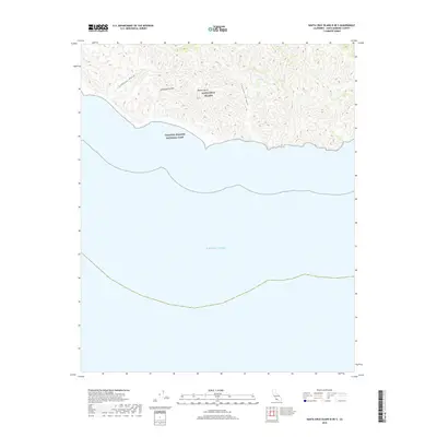
2018 Map of Santa Cruz Island B OE S
USGS Topo · Published 2018About this map
Santa Cruz Island rises abruptly from the Pacific Ocean in this topographical study of its southern shoreline. Part of the Channel Islands National Park, the area is defined by sharp elevation changes and deep coastal drainage systems. The landscape is dominated by the Blanca Sierra ridges, which are carved by several prominent seasonal watercourses including Johnston Canyon, Laguna Canyon, and the broad reach of Cañada Posa. This 2018 survey illustrates the complex, unpopulated terrain of the island, where steep slopes and high peaks provide a sanctuary for native flora and fauna far from the California mainland. The lack of infrastructure or modern development highlights the preserved nature of this protected maritime environment.
Find a feature on this map
7 named features on this map. Tap any name to fly to it.
Don’t see what you’re looking for? This feature index may not catch every label — zoom into the map to look around manually.
Map Details
Editions of this 2018 Santa Cruz Island B OE S Map
This is the sole edition of this map. No revisions or reprints were ever made.
Other maps of this area
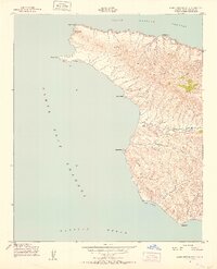
1943 · Santa Cruz Island A
USGS Topo · 1:24,000
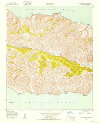
1943 · Santa Cruz Island B
USGS Topo · 1:24,000

1949 · Los Angeles
USGS Topo · 1:250,000

1949 · Long Beach
USGS Topo · 1:250,000

1955 · Los Angeles
USGS Topo · 1:250,000

1957 · Long Beach
USGS Topo · 1:250,000

1958 · Long Beach
USGS Topo · 1:250,000

1959 · Los Angeles
USGS Topo · 1:250,000

1960 · Long Beach
USGS Topo · 1:250,000

1966 · Los Angeles
USGS Topo · 1:250,000