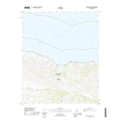
2018 Map of Santa Cruz Island B
USGS Topo · Published 2018About this map
Santa Cruz Island, protected within the Channel Islands National Park, presents a landscape defined by sharp elevation changes and deeply incised canyons. The northern coastline is marked by geological features like Arch Rock, giving way to the high interior reaches of Devils Peak. A rare human-made landmark in this isolated environment is the Christy Airstrip, situated near the western drainages of Cañada Cervada. The island's internal geography is shaped by the prominent Central Valley, which runs through the southern portion of the sheet. Further south, the terrain breaks into steep-walled passages such as Laguna Canyon and Cañada De Los Sauces, illustrating the complex natural drainage patterns into the Pacific Ocean. This survey captures the island’s topography in its modern conservation era, highlighting the intricate network of ridges and canyons that characterize this offshore environment.
Find a feature on this map
10 named features on this map. Tap any name to fly to it.
Don’t see what you’re looking for? This feature index may not catch every label — zoom into the map to look around manually.
Map Details
Editions of this 2018 Santa Cruz Island B Map
This is the sole edition of this map. No revisions or reprints were ever made.
Other maps of this area
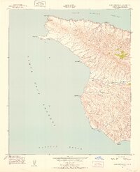
1943 · Santa Cruz Island A
USGS Topo · 1:24,000
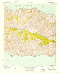
1943 · Santa Cruz Island B
USGS Topo · 1:24,000

1949 · Los Angeles
USGS Topo · 1:250,000

1949 · Long Beach
USGS Topo · 1:250,000

1955 · Los Angeles
USGS Topo · 1:250,000

1957 · Long Beach
USGS Topo · 1:250,000

1958 · Long Beach
USGS Topo · 1:250,000

1959 · Los Angeles
USGS Topo · 1:250,000

1960 · Long Beach
USGS Topo · 1:250,000

1966 · Los Angeles
USGS Topo · 1:250,000