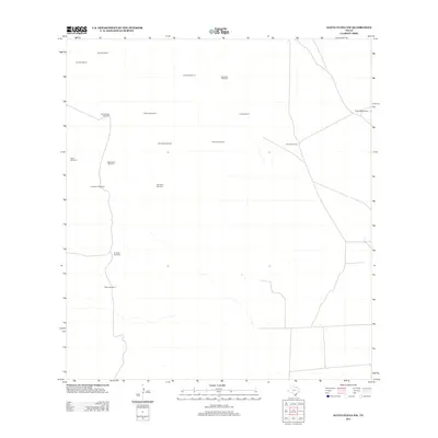
2012 Map of Santa Elena NW
USGS Topo · Published 2012About this map
Alta Vista Windmill and San Pedro Windmill anchor this 2012 survey of the arid ranchlands in Jim Hogg County, Texas. The landscape is defined by its reliance on groundwater, documented through a network of named windmills that serve as primary geographic markers across the terrain. These features, such as Agua Dulce Windmill and Huisache Windmill, reflect the area's agricultural heritage and the vital importance of water infrastructure in South Texas. The map illustrates a sparse road network connecting these remote points, including Las Mojadas Windmill and Cotulla Windmill. For researchers, these specific labels offer precise locations for rural property boundaries and ranching operations that have persisted into the twenty-first century.
Find a feature on this map
17 named features on this map. Tap any name to fly to it.
Don’t see what you’re looking for? This feature index may not catch every label — zoom into the map to look around manually.
Map Details
Editions of this 2012 Santa Elena NW Map
This is the sole edition of this map. No revisions or reprints were ever made.
Other maps of this area

1921 · Falfurrias
USGS Topo · 1:125,000

1938 · Agua Nueva
USGS Topo · 1:62,500

1939 · Encantada
USGS Topo · 1:62,500

1949 · Mc Allen
USGS Topo · 1:250,000

1954 · McAllen
USGS Topo · 1:250,000

1956 · Laredo
USGS Topo · 1:250,000

1957 · Mc Allen
USGS Topo · 1:250,000

1962 · McAllen
USGS Topo · 1:250,000

1968 · Palomas Ranch SW
USGS Topo · 1:24,000

1968 · Palomas Ranch SE
USGS Topo · 1:24,000