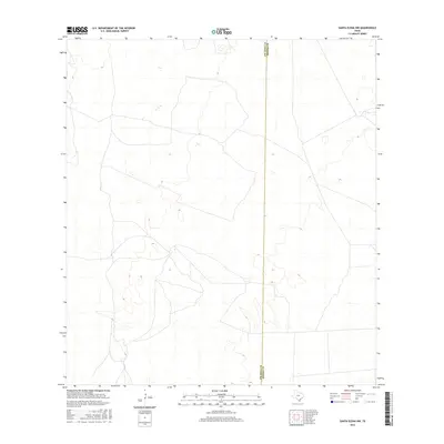
2016 Map of Santa Elena NW
USGS Topo · Published 2016About this map
Deep South Texas ranchland defines this landscape along the border of Jim Hogg Co and Brooks Co during the mid-2010s. This portion of the coastal plains consists of a complex network of ranch roads and subtle topographic variations, typical of the region's cattle-rearing history. The map shows the transition from the eastern edge of Jim Hogg County into the western reaches of Brooks County, characterized by ephemeral water features and a landscape largely managed for private agricultural use. Without significant urban centers, the terrain relies on a sparse system of local roads that connect remote outposts across the sandy plains of the South Texas brush country.
Find a feature on this map
1 named feature on this map. Tap any name to fly to it.
Don’t see what you’re looking for? This feature index may not catch every label — zoom into the map to look around manually.
Map Details
Editions of this 2016 Santa Elena NW Map
This is the sole edition of this map. No revisions or reprints were ever made.
Other maps of this area

1921 · Falfurrias
USGS Topo · 1:125,000

1938 · Agua Nueva
USGS Topo · 1:62,500

1939 · Encantada
USGS Topo · 1:62,500

1949 · Mc Allen
USGS Topo · 1:250,000

1954 · McAllen
USGS Topo · 1:250,000

1956 · Laredo
USGS Topo · 1:250,000

1957 · Mc Allen
USGS Topo · 1:250,000

1962 · McAllen
USGS Topo · 1:250,000

1968 · Palomas Ranch SW
USGS Topo · 1:24,000

1968 · Palomas Ranch SE
USGS Topo · 1:24,000