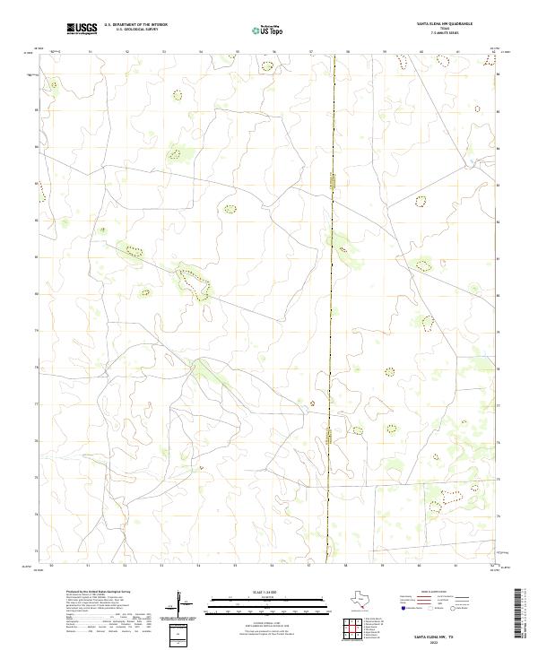
2022 Map of Santa Elena NW
USGS Topo · Published 2022About this map
The South Texas plains define this area of the Brush Country, where the landscape is marked primarily by the administrative boundary between Jim Hogg Co and Brooks Co. This modern 2022 survey illustrates the sparse, ranch-oriented geography characteristic of the region, where the terrain is shaped by subtle elevation changes and an intricate network of local ranch roads and tracks. The absence of major settlements highlights the enduring rural nature of these counties, offering researchers a clear view of the contemporary land divisions and private ranch access routes that dominate the territory today. While the landscape appears open, the boundary line bisecting the quadrangle serves as a primary reference point for identifying property locations and geographical context within this part of the state.
Find a feature on this map
1 named feature on this map. Tap any name to fly to it.
Don’t see what you’re looking for? This feature index may not catch every label — zoom into the map to look around manually.
Map Details
Editions of this 2022 Santa Elena NW Map
This is the sole edition of this map. No revisions or reprints were ever made.
Other maps of this area

1921 · Falfurrias
USGS Topo · 1:125,000

1938 · Agua Nueva
USGS Topo · 1:62,500

1939 · Encantada
USGS Topo · 1:62,500

1949 · Mc Allen
USGS Topo · 1:250,000

1954 · McAllen
USGS Topo · 1:250,000

1956 · Laredo
USGS Topo · 1:250,000

1957 · Mc Allen
USGS Topo · 1:250,000

1962 · McAllen
USGS Topo · 1:250,000

1968 · Palomas Ranch SW
USGS Topo · 1:24,000

1968 · Palomas Ranch SE
USGS Topo · 1:24,000