
1894 Map of Santa Fe
USGS Topo · Published 1894About this map
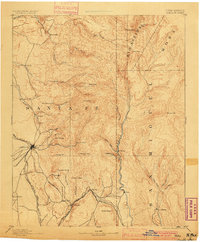
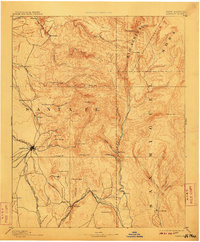
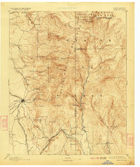
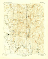
Santa Fe serves as the hub of this territorial landscape, where the Santa Fe Southern R. R. and the Atchison Topeka and Santa Fe R. R. converge near the site of Old Fort Marcy. The map illustrates a region of high-altitude peaks and deep canyons, with the Sangre de Cristo range rising to Baldy Peak and Lake Peak. Smaller settlements like Tesuque Pueblo, Santuario, and Nambe are connected by a network of drainage systems including Nambe Creek and Tesuque Creek.
Find a feature on this map
63 named features on this map. Tap any name to fly to it.
Don’t see what you’re looking for? This feature index may not catch every label — zoom into the map to look around manually.
Map Details
Editions of this 1894 Santa Fe Map
5 editions found
Other maps of this area

1889 · Las Vegas
USGS Topo · 1:125,000

1889 · Santa Fe
USGS Topo · 1:125,000

1890 · Bernal
USGS Topo · 1:125,000

1891 · Bernal
USGS Topo · 1:125,000

1891 · Las Vegas
USGS Topo · 1:125,000

1892 · San Pedro
USGS Topo · 1:125,000

1892 · Santa Clara
USGS Topo · 1:125,000

1893 · Las Vegas
USGS Topo · 1:125,000

1894 · Bernal
USGS Topo · 1:125,000

1894 · Lamy
USGS Topo · 1:125,000