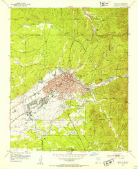
1952 Map of Santa Fe
USGS Topo · Published 1953About this map
Santa Fe is depicted in 1952 as a city deeply intertwined with its historical land grants and evolving institutional identity. The landscape is structured by several Spanish colonial-era boundaries, including the Juan de Gabaldon Grant, Santa Fe Grant, and Salvador Gonzales Grant. Educational and state facilities anchor the urban core, featuring the St Michaels College, State Capitol, and several specialized institutions like the State School for the Deaf and the U S Indian School.
Find a feature on this map
60 named features on this map. Tap any name to fly to it.
Don’t see what you’re looking for? This feature index may not catch every label — zoom into the map to look around manually.
Map Details
Editions of this 1952 Santa Fe Map
4 editions found
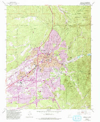
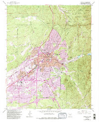
Other maps of this area

1889 · Santa Fe
USGS Topo · 1:125,000

1892 · Santa Clara
USGS Topo · 1:125,000

1894 · Santa Fe
USGS Topo · 1:125,000

1951 · Agua Fria
USGS Topo · 1:24,000

1951 · Turquoise Hill
USGS Topo · 1:24,000

1952 · Santa Fe
USGS Topo · 1:24,000

1952 · Turquoise Hill
USGS Topo · 1:24,000

1952 · Seton Village
USGS Topo · 1:24,000

1953 · Tesuque
USGS Topo · 1:24,000

1953 · Horcado Ranch
USGS Topo · 1:24,000