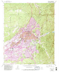
1952 Map of Santa Fe
USGS Topo · Published 1993About this map
Santa Fe is captured here during a period of significant mid-century growth, centered around the historic core and the State Capitol. The landscape is a complex intersection of Spanish colonial legacy and modern infrastructure, where ancient irrigation routes like the Acequia Madre wind through neighborhoods near the Atchison Topeka and Santa Fe RR tracks. Cultural and educational institutions are prominent, from the Santa Fe Indian Sch and St Michaels High Sch to the Museum of International Folk Art and the Wheelwright Museum. To the east, the terrain rises sharply toward Sun Mtn and Atalaya Mtn, marking the edge of the Santa Fe National Forest. This survey also documents numerous local landmarks, including the Governor's Mansion, the Laboratory of Anthropology, and several neighborhood cemeteries such as Rosario Cem and Guadalupe Cem, providing a detailed look at the city's social and geographic layout.
Find a feature on this map
75 named features on this map. Tap any name to fly to it.
Don’t see what you’re looking for? This feature index may not catch every label — zoom into the map to look around manually.
Map Details
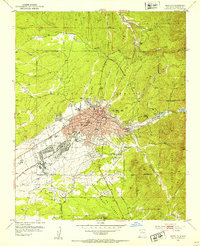
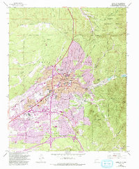
Editions of this 1952 Santa Fe Map
4 editions found
Other maps of this area

1889 · Santa Fe
USGS Topo · 1:125,000

1892 · Santa Clara
USGS Topo · 1:125,000

1894 · Santa Fe
USGS Topo · 1:125,000

1951 · Agua Fria
USGS Topo · 1:24,000

1951 · Turquoise Hill
USGS Topo · 1:24,000

1952 · Santa Fe
USGS Topo · 1:24,000

1952 · Turquoise Hill
USGS Topo · 1:24,000

1952 · Seton Village
USGS Topo · 1:24,000

1953 · Tesuque
USGS Topo · 1:24,000

1953 · Horcado Ranch
USGS Topo · 1:24,000