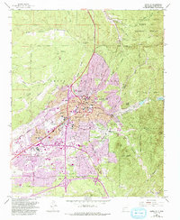
1952 Map of Santa Fe
USGS Topo · Published 1993About this map
Santa Fe is captured here as a growing state capital where traditional acequia systems and historic grants meet modern mid-century expansion. The map illustrates the complex intersection of cultural and civic life, from the State Capitol and Governors Mansion to the sprawling grounds of the Santa Fe Indian Sch and St Catherine Indian School. The urban fabric is framed by the Santa Fe Grant Boundary and the San Sebastian de las Vegas Grant Boundary, reflecting the enduring legacy of Spanish land grants in the New Mexico landscape.
Find a feature on this map
94 named features on this map. Tap any name to fly to it.
Don’t see what you’re looking for? This feature index may not catch every label — zoom into the map to look around manually.
Map Details
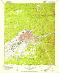
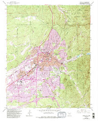
Editions of this 1952 Santa Fe Map
4 editions found
Other maps of this area

1889 · Santa Fe
USGS Topo · 1:125,000

1892 · Santa Clara
USGS Topo · 1:125,000

1894 · Santa Fe
USGS Topo · 1:125,000

1951 · Agua Fria
USGS Topo · 1:24,000

1951 · Turquoise Hill
USGS Topo · 1:24,000

1952 · Santa Fe
USGS Topo · 1:24,000

1952 · Turquoise Hill
USGS Topo · 1:24,000

1952 · Seton Village
USGS Topo · 1:24,000

1953 · Tesuque
USGS Topo · 1:24,000

1953 · Horcado Ranch
USGS Topo · 1:24,000