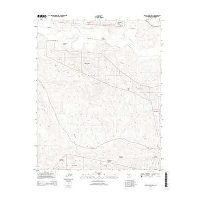
2015 Map of Santa Rosa Hills
USGS Topo · Published 2015About this map
The Santa Ynez Mountains and Santa Rosa Hills define this interior coastal landscape in Santa Barbara County. This terrain is marked by a complex network of canyons and drainages, including Long Canyon, Cañada de la Vina, and Cañada De Santa Anita, which transition into the fertile Lompoc Valley to the north. The Santa Ynez River flows along the northern edge of the map, fed by numerous creeks such as Santa Rosa Cr and Palos Colorados Cr. Transportation through these ridges is anchored by rural corridors like San Julian Rd and Santa Rosa Rd. To the south, the drainages of Gaviota Cr and Arroyo El Bulito carve through the foothills toward the Pacific, reflecting the area's legacy of large land holdings and coastal ranching topography.
Find a feature on this map
39 named features on this map. Tap any name to fly to it.
Don’t see what you’re looking for? This feature index may not catch every label — zoom into the map to look around manually.
Map Details
Editions of this 2015 Santa Rosa Hills Map
This is the sole edition of this map. No revisions or reprints were ever made.
Other maps of this area

1905 · Lompoc
USGS Topo · 1:125,000

1942 · Lompoc
USGS Topo · 1:125,000

1942 · Lompoc
USGS Topo · 1:62,500

1942 · Pt. Conception
USGS Topo · 1:62,500

1942 · Gaviota
USGS Topo · 1:62,500

1942 · Los Olivos
USGS Topo · 1:62,500

1943 · Los Olivos
USGS Topo · 1:62,500

1943 · Lompoc
USGS Topo · 1:125,000

1943 · Gaviota
USGS Topo · 1:62,500

1947 · Lompoc
USGS Topo · 1:24,000