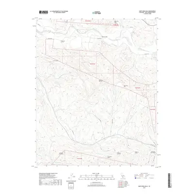
2018 Map of Santa Rosa Hills
USGS Topo · Published 2018About this map
The Santa Ynez Mountains and the Santa Rosa Hills dominate this coastal range landscape, defined by a complex network of canyons and drainages that flow toward the Santa Ynez River in the north and the Pacific beyond the southern map edge. The topographic detail highlights the sharp transition from the fertile Lompoc Valley and the vineyard-rich Santa Rita Hills into the steep, dissected terrain of the interior.
Find a feature on this map
41 named features on this map. Tap any name to fly to it.
Don’t see what you’re looking for? This feature index may not catch every label — zoom into the map to look around manually.
Map Details
Editions of this 2018 Santa Rosa Hills Map
This is the sole edition of this map. No revisions or reprints were ever made.
Other maps of this area

1905 · Lompoc
USGS Topo · 1:125,000

1942 · Lompoc
USGS Topo · 1:125,000

1942 · Lompoc
USGS Topo · 1:62,500

1942 · Pt. Conception
USGS Topo · 1:62,500

1942 · Gaviota
USGS Topo · 1:62,500

1942 · Los Olivos
USGS Topo · 1:62,500

1943 · Los Olivos
USGS Topo · 1:62,500

1943 · Lompoc
USGS Topo · 1:125,000

1943 · Gaviota
USGS Topo · 1:62,500

1947 · Lompoc
USGS Topo · 1:24,000