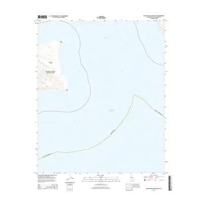
2015 Map of Santa Rosa Island East
USGS Topo · Published 2015About this map
Santa Rosa Island anchors the western edge of this coastal survey, where the terrestrial landscape meets the deep blue of the Pacific Ocean. This section of the Channel Islands National Park is defined by its dramatic shoreline features, including the sharp projection of Skunk Point and the southeastern prominence of East Point. The maritime geography is dominated by the Santa Cruz Channel, the body of water separating this island from its neighbors to the east. Topographic contours illustrate the elevation changes across the island's interior, providing a clear view of the drainage patterns and ridge lines that characterize this protected environment within Santa Barbara County.
Find a feature on this map
8 named features on this map. Tap any name to fly to it.
Don’t see what you’re looking for? This feature index may not catch every label — zoom into the map to look around manually.
Map Details
Editions of this 2015 Santa Rosa Island East Map
This is the sole edition of this map. No revisions or reprints were ever made.
Other maps of this area
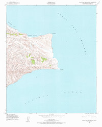
1943 · Santa Rosa Island East
USGS Topo · 1:24,000
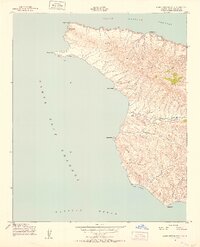
1943 · Santa Cruz Island A
USGS Topo · 1:24,000

1948 · Santa Maria
USGS Topo · 1:250,000

1949 · Los Angeles
USGS Topo · 1:250,000

1949 · Long Beach
USGS Topo · 1:250,000

1955 · Los Angeles
USGS Topo · 1:250,000

1956 · Santa Maria
USGS Topo · 1:250,000

1957 · Long Beach
USGS Topo · 1:250,000

1957 · Santa Maria
USGS Topo · 1:250,000

1958 · Santa Maria
USGS Topo · 1:250,000