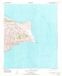
1943 Map of Santa Rosa Island East
USGS Topo · Published 1972About this map
Sierra Pablo rises prominently on the eastern reaches of Santa Rosa Island, overlooking a shoreline marked by distinct coastal landforms. Mapped by the Army Map Service during the 1940s, this survey documents the island's topography as it appeared during the war years. The land tapers toward the sea at Skunk Point and East Point, forming the protective boundaries of Southeast Anchorage. The waters of the Santa Cruz Channel separate the island from its neighbor to the east, while the northern coast is defined by the sweeping curve of Beechers Bay. Sparse in human development, the map focuses on the natural contours of the island's interior and the sandy stretches around Sand Point, providing a primary record of this offshore environment before its later incorporation into the national park system.
Find a feature on this map
8 named features on this map. Tap any name to fly to it.
Don’t see what you’re looking for? This feature index may not catch every label — zoom into the map to look around manually.
Map Details
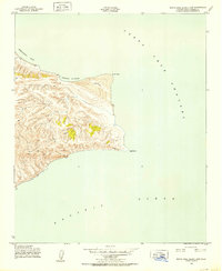
Editions of this 1943 Santa Rosa Island East Map
3 editions found
Other maps of this area
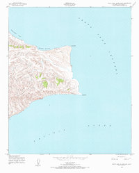
1943 · Santa Rosa Island East
USGS Topo · 1:24,000
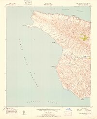
1943 · Santa Cruz Island A
USGS Topo · 1:24,000
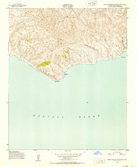
1943 · Santa Rosa Island South
USGS Topo · 1:24,000
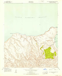
1943 · Santa Rosa Island North
USGS Topo · 1:24,000

1948 · Santa Maria
USGS Topo · 1:250,000

1949 · Los Angeles
USGS Topo · 1:250,000

1949 · Long Beach
USGS Topo · 1:250,000

1955 · Los Angeles
USGS Topo · 1:250,000

1956 · Santa Maria
USGS Topo · 1:250,000

1957 · Long Beach
USGS Topo · 1:250,000