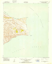
1943 Map of Santa Rosa Island East
USGS Topo · Published 1952About this map
Sierra Pablo dominates the eastern interior of this coastal terrain, rising sharply above the Pacific Ocean in a series of steep, complex ridges. The shoreline is defined by notable nautical landmarks, including the broad curve of Beechers Bay and the sheltering waters of Southeast Anchorage. This 1943 survey, conducted for the Army Map Service, details a landform largely shaped by wind and sea, where high points like the Ridge overlook the churning currents of the Santa Cruz Channel. Sharp coastal features like Skunk Point, Sand Point, and East Point provide essential reference markers for maritime navigation. The mapping reveals a rugged, unpopulated landscape at the height of World War II, focusing on the topographic contours of the island's eastern extremity without the presence of permanent human settlements or infrastructure.
Find a feature on this map
9 named features on this map. Tap any name to fly to it.
Don’t see what you’re looking for? This feature index may not catch every label — zoom into the map to look around manually.
Map Details
Editions of this 1943 Santa Rosa Island East Map
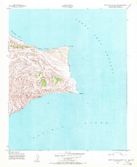
3 editions found
Other maps of this area
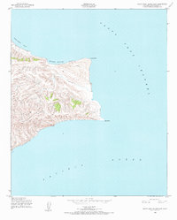
1943 · Santa Rosa Island East
USGS Topo · 1:24,000
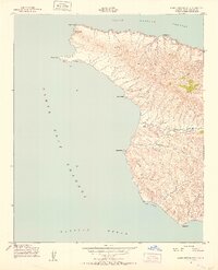
1943 · Santa Cruz Island A
USGS Topo · 1:24,000
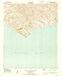
1943 · Santa Rosa Island South
USGS Topo · 1:24,000
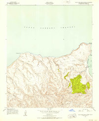
1943 · Santa Rosa Island North
USGS Topo · 1:24,000

1948 · Santa Maria
USGS Topo · 1:250,000

1949 · Los Angeles
USGS Topo · 1:250,000

1949 · Long Beach
USGS Topo · 1:250,000

1955 · Los Angeles
USGS Topo · 1:250,000

1956 · Santa Maria
USGS Topo · 1:250,000

1957 · Long Beach
USGS Topo · 1:250,000