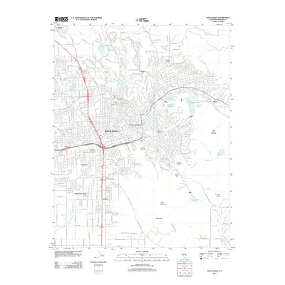
1944 Map of Santa Rosa
USGS Topo · Published 1951About this map
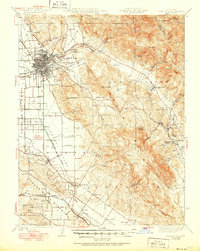
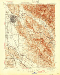
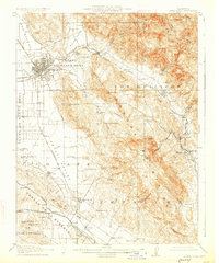
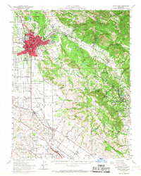
Santa Rosa serves as the focal point for this mid-century survey, anchoring a region defined by agricultural valleys and early transportation corridors. The Northwestern Pacific railroad tracks bisect the landscape, connecting settlements like Cotati and Penngrove while skirting the Cotati Valley. To the east, the Sonoma Valley and Rincon Valley provide a glimpse into the rural character of the era, where small schools like Rincon Sch and Strawberry Sch served scattered farmsteads. The presence of the Sonoma State Home near Eldridge and the Navy Airport reflects the institutional and wartime developments of the period.
Find a feature on this map
88 named features on this map. Tap any name to fly to it.
Don’t see what you’re looking for? This feature index may not catch every label — zoom into the map to look around manually.
Map Details
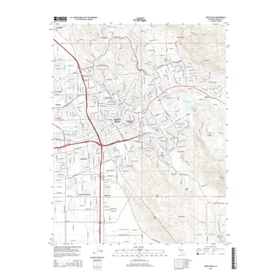
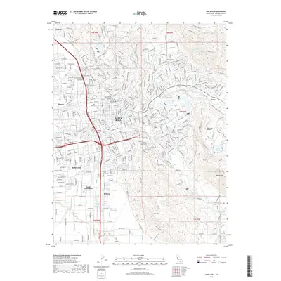
Editions of this 1944 Santa Rosa Map
2 editions found
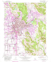
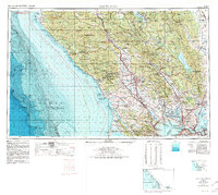
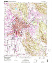
Historical Maps of Santa Rosa Through Time
14 maps found
1916 Santa Rosa
Sonoma County, CA
1944 Santa Rosa
Sonoma County, CA

1947 Santa Rosa
Sonoma County, CA
1949 Santa Rosa
Sonoma County, CA
1954 Santa Rosa
Sonoma County, CA
1954 Santa Rosa
Sonoma County, CA
1958 Santa Rosa
Sonoma County, CA

1962 Santa Rosa
Sonoma County, CA

1964 Santa Rosa
Sonoma County, CA
1994 Santa Rosa
Sonoma County, CA
2012 Santa Rosa
Sonoma County, CA
2015 Santa Rosa
Sonoma County, CA
2018 Santa Rosa
Sonoma County, CA
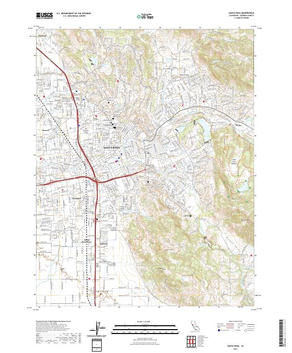
2021 Santa Rosa
Sonoma County, CA