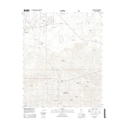
2015 Map of Santa Ynez
USGS Topo · Published 2015About this map
The Santa Ynez Valley is the focal point of this 2015 survey, where the township of Santa Ynez and the eastern edge of Solvang sit at the northern base of the steep Santa Ynez Mountains. The landscape transitions abruptly from the residential and agricultural grid of the valley floor to the protected wilderness of the Los Padres National Forest. Aviation activity is prominent in the valley, evidenced by the central Santa Ynez Airport, and the smaller Shepherd Ranch Airport and Crawford Airport to the east.
Find a feature on this map
50 named features on this map. Tap any name to fly to it.
Don’t see what you’re looking for? This feature index may not catch every label — zoom into the map to look around manually.
Map Details
Editions of this 2015 Santa Ynez Map
This is the sole edition of this map. No revisions or reprints were ever made.
Other maps of this area

1902 · Santa Ynez
USGS Topo · 1:125,000

1905 · Santa Ynez
USGS Topo · 1:125,000

1905 · Lompoc
USGS Topo · 1:125,000

1941 · San Rafael Mtn.
USGS Topo · 1:62,500

1942 · Lompoc
USGS Topo · 1:125,000

1942 · Gaviota
USGS Topo · 1:62,500

1942 · Goleta
USGS Topo · 1:62,500

1942 · San Rafael Mtn.
USGS Topo · 1:62,500

1942 · Los Olivos
USGS Topo · 1:62,500

1943 · San Rafael Mtn.
USGS Topo · 1:62,500