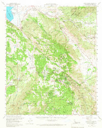
1960 Map of Santa Ysabel
USGS Topo · Published 1966About this map
Julian and the surrounding high country of San Diego County are captured here at a moment when mining history and mid-century recreation converged. The landscape is heavily marked by its mineral past, particularly around Banner Canyon, where numerous claims like the Ready Relief Mine, Golden Chariot Mine, and Helvetia Mine follow the steep terrain. These sites, along with the Butterfield Stage Station near Warners Ranch, provide clear reference points for those tracing the 19th-century transit and resource extraction that shaped the region.
Find a feature on this map
134 named features on this map. Tap any name to fly to it.
Don’t see what you’re looking for? This feature index may not catch every label — zoom into the map to look around manually.
Map Details
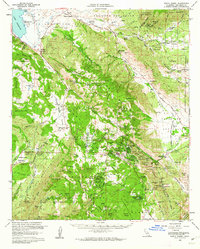
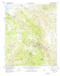
Editions of this 1960 Santa Ysabel Map
3 editions found
Other maps of this area

1893 · El Cajon
USGS Topo · 1:62,500

1901 · Elcajon
USGS Topo · 1:62,500

1903 · Cuyamaca
USGS Topo · 1:125,000

1903 · Elcajon
USGS Topo · 1:62,500

1903 · Ramona
USGS Topo · 1:125,000

1904 · Indio
USGS Topo · 1:125,000

1904 · Southern California Sheet No. 2
USGS Topo · 1:250,000

1931 · Vallecito
USGS Topo · 1:125,000

1931 · Carrizo
USGS Topo · 1:125,000

1939 · El Cajon
USGS Topo · 1:62,500