
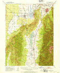
1951 Map of Santaquin
USGS Topo · Published 1953About this map
Santaquin and the agricultural lands of southern Utah County are mapped here in the early 1950s, a landscape defined by the sharp transition between the irrigated valley floor and the massive rise of the Wasatch Range. The Union Pacific and Denver And Rio Grande Western railroads cross through this corridor, serving established towns like Goshen and Mona while skirting the edge of Cedar Hollow. Significant water management features, including the Mount Nebo Reservoir and Goshen Reservoir, highlight the critical role of mountain runoff for the surrounding orchards and farms.
Find a feature on this map
68 named features on this map. Tap any name to fly to it.
Don’t see what you’re looking for? This feature index may not catch every label — zoom into the map to look around manually.
Map Details
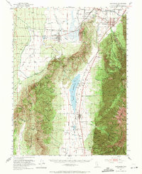
Editions of this 1951 Santaquin Map
3 editions found
Other maps of this area

1885 · Salt Lake
USGS Topo · 1:250,000

1885 · Manti
USGS Topo · 1:250,000

1885 · Sevier Desert
USGS Topo · 1:250,000

1885 · Tooele Valley
USGS Topo · 1:250,000

1895 · Manti
USGS Topo · 1:250,000

1947 · Fivemile Pass
USGS Topo · 1:62,500

1947 · Allens Ranch
USGS Topo · 1:24,000

1948 · Spanish Fork
USGS Topo · 1:24,000

1949 · Eureka
USGS Topo · 1:24,000

1949 · Allens Ranch
USGS Topo · 1:24,000