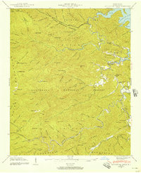
1940 Map of Santeetlah Creek
USGS Topo · Published 1957About this map
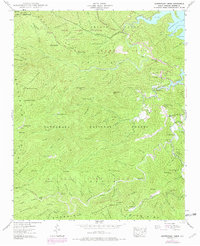
Joyce Kilmer Memorial Forest and the Nantahala National Forest dominate this landscape during the mid-twentieth century, showcasing a region defined by its timber and wilderness resources. The presence of the Snowbird (Logging RR) running along the southern reaches of the map indicates the active industrial harvesting of the era, while the Joyce Kilmer Memorial stands as a landmark of preservation within the hardwood stands.
Find a feature on this map
157 named features on this map. Tap any name to fly to it.
Don’t see what you’re looking for? This feature index may not catch every label — zoom into the map to look around manually.
Map Details
Editions of this 1940 Santeetlah Creek Map
6 editions found
Other maps of this area

1893 · Murphy
USGS Topo · 1:125,000

1914 · Murphy
USGS Topo · 1:125,000

1927 · Big Junction
USGS Topo · 1:24,000

1933 · Haw Knob
USGS Topo · 1:48,000

1933 · Whiteoak Flats
USGS Topo · 1:24,000

1934 · McDaniel Bald
USGS Topo · 1:24,000

1934 · Murphy
USGS Topo · 1:48,000

1935 · Robbinsville
USGS Topo · 1:24,000

1935 · Fontana
USGS Topo · 1:24,000

1935 · Marble
USGS Topo · 1:24,000