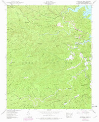
1940 Map of Santeetlah Creek
USGS Topo · Published 1978About this map
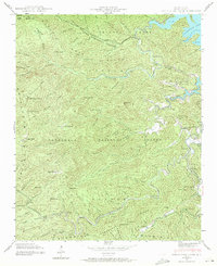
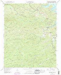
Joyce Kilmer Memorial Forest and the surrounding reaches of the Nantahala National Forest dominate this landscape, preserving a dense network of watercourses and ridges as they appeared in 1940. The area is defined by the high elevations of the Cheoah Mountains, where peaks like Huckleberry Knob and Stratton Bald overlook deep coves and gaps. In the northeast, the waters of Santeetlah Lake reach into narrow valleys, with Santeetlah Gap serving as a key passage through the terrain.
Find a feature on this map
124 named features on this map. Tap any name to fly to it.
Don’t see what you’re looking for? This feature index may not catch every label — zoom into the map to look around manually.
Map Details
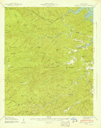
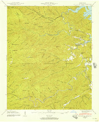
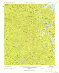
Editions of this 1940 Santeetlah Creek Map
6 editions found
Other maps of this area

1893 · Murphy
USGS Topo · 1:125,000

1914 · Murphy
USGS Topo · 1:125,000

1927 · Big Junction
USGS Topo · 1:24,000

1933 · Haw Knob
USGS Topo · 1:48,000

1933 · Whiteoak Flats
USGS Topo · 1:24,000

1934 · McDaniel Bald
USGS Topo · 1:24,000

1934 · Murphy
USGS Topo · 1:48,000

1935 · Robbinsville
USGS Topo · 1:24,000

1935 · Fontana
USGS Topo · 1:24,000

1935 · Marble
USGS Topo · 1:24,000