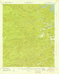
1940 Map of Santeetlah Creek
USGS Topo · Published 1940About this map
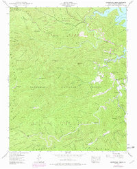
Joyce Kilmer Memorial Forest and the Nantahala National Forest dominate this 1940 topographic landscape, revealing a remote wilderness on the brink of significant change. The eastern edge of the map shows the shoreline of Santeetlah Lake at an elevation of 1940 feet, with several land tracts numbered near its banks. Evidence of the region's industrial past is visible through a logging RR grade winding through the southern mountains, while local community life is anchored by Snowbird Sch and churches like Mt Nebo Ch and Teeoatlah Ch. Small homesteads and family names appear across the ridges, including Wilson Cabin, John Teeseteska, and McGuires. The terrain is characterized by high peaks such as Stratton Bald and Hooper Bald, separated by deep gaps and numerous branches like Wolf Laurel Branch and Squally Creek.
Find a feature on this map
122 named features on this map. Tap any name to fly to it.
Don’t see what you’re looking for? This feature index may not catch every label — zoom into the map to look around manually.
Map Details
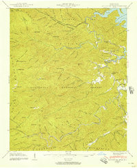
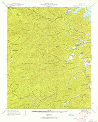
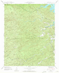
Editions of this 1940 Santeetlah Creek Map
6 editions found
Other maps of this area

1893 · Murphy
USGS Topo · 1:125,000

1914 · Murphy
USGS Topo · 1:125,000

1927 · Big Junction
USGS Topo · 1:24,000

1933 · Haw Knob
USGS Topo · 1:48,000

1933 · Whiteoak Flats
USGS Topo · 1:24,000

1934 · McDaniel Bald
USGS Topo · 1:24,000

1934 · Murphy
USGS Topo · 1:48,000

1935 · Robbinsville
USGS Topo · 1:24,000

1935 · Fontana
USGS Topo · 1:24,000

1935 · Marble
USGS Topo · 1:24,000