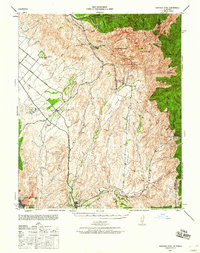
1942 Map of Santiago Peak
USGS Topo · Published 1960About this map
The Santa Ana Mountains dominate this landscape during the early 1940s, providing a high-relief backdrop to the developing coastal plains and deep canyons of Orange County. This era shows the historic mission town of San Juan Capistrano as a key regional anchor, while El Toro sits along the Atchison Topeka and Santa Fe railroad line. The map illustrates the sophisticated water management of the time through features like Lambert Reservoir, Modjeska Reservoir, and Veem Reservoir, which supported the surrounding agriculture and settlements.
Find a feature on this map
51 named features on this map. Tap any name to fly to it.
Don’t see what you’re looking for? This feature index may not catch every label — zoom into the map to look around manually.
Map Details
Editions of this 1942 Santiago Peak Map
3 editions found

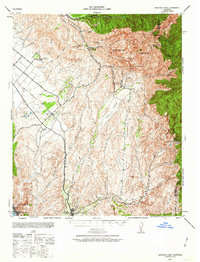
Other maps of this area

1896 · Santa Ana
USGS Topo · 1:62,500

1896 · Anaheim
USGS Topo · 1:62,500

1898 · Anaheim
USGS Topo · 1:62,500

1901 · Southern California Sheet No. 1
USGS Topo · 1:250,000

1901 · Santa Ana
USGS Topo · 1:62,500

1901 · Anaheim
USGS Topo · 1:62,500

1901 · Elsinore
USGS Topo · 1:125,000

1901 · San Luis Rey
USGS Topo · 1:125,000

1901 · Riverside
USGS Topo · 1:62,500

1902 · Capistrano
USGS Topo · 1:125,000