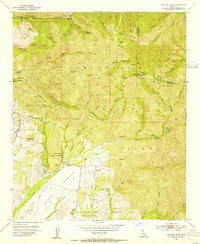
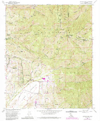
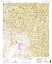
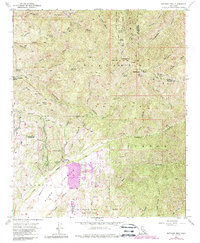
1954 Map of Santiago Peak
USGS Topo · Published 1955About this map
Santiago Peak (Old Saddleback) and Modjeska Peak dominate this mid-century survey of the Santa Ana Mountains, where the high-altitude Cleveland National Forest meets the canyons of eastern Orange County. The map captures a transition from the wooded wilderness of the upper peaks to the emerging settlement in the valleys, notably around the community of Modjeska and the Modjeska Reservoir. To the south, the Plano Trabuco plateau spreads out beneath the mountains, punctuated by the Trabuco Oaks settlement and the Trabuco Sch.
Find a feature on this map
51 named features on this map. Tap any name to fly to it.
Don’t see what you’re looking for? This feature index may not catch every label — zoom into the map to look around manually.
Map Details
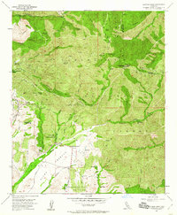
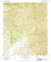
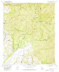
Editions of this 1954 Santiago Peak Map
7 editions found
Other maps of this area

1901 · Southern California Sheet No. 1
USGS Topo · 1:250,000

1901 · Elsinore
USGS Topo · 1:125,000

1901 · Riverside
USGS Topo · 1:62,500

1902 · Corona
USGS Topo · 1:125,000

1904 · Southern California Sheet No. 1
USGS Topo · 1:250,000

1935 · El Toro
USGS Topo · 1:31,680

1942 · Lake Elsinore
USGS Topo · 1:62,500

1942 · Santiago Peak
USGS Topo · 1:62,500

1942 · Corona
USGS Topo · 1:62,500

1942 · Riverside
USGS Topo · 1:62,500
Featured Places
- Mission Viejo, CA
- Lake Forest, CA
- Rancho Santa Margarita, CA
- Portola Hills, Lake Forest
- Canyon Crest, Mission Viejo