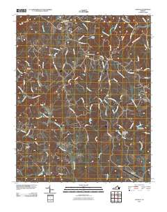
2010 Map of Sanville
USGS Topo · Published 2010About this map
Sanville and the surrounding rural communities of Henry County are defined by the winding course of the North Mayo River and its numerous tributaries. This landscape shows a transition from the elevated peaks of Hogpen Mountain in the northwest to the managed water systems of the east, featuring structures like Horse Pasture Dam Number 1c and Horse Pasture Creek Number Two Dam. The area's agricultural and industrial roots are visible in landmarks such as Kogers Mill and the scattered settlements of Stella, Blackberry, and Pannill Fork.
Find a feature on this map
76 named features on this map. Tap any name to fly to it.
Don’t see what you’re looking for? This feature index may not catch every label — zoom into the map to look around manually.
Map Details
Editions of this 2010 Sanville Map
This is the sole edition of this map. No revisions or reprints were ever made.
Other maps of this area

1924 · Martinsville
USGS Topo · 1:48,000

1925 · Rocky Mount
USGS Topo · 1:48,000

1926 · Martinsville
USGS Topo · 1:62,500

1926 · Critz
USGS Topo · 1:48,000

1927 · Rocky Mount
USGS Topo · 1:62,500

1927 · Martinsville
USGS Topo · 1:62,500

1928 · Critz
USGS Topo · 1:62,500

1944 · Martinsville
USGS Topo · 1:62,500

1944 · Rocky Mount
USGS Topo · 1:62,500

1953 · Winston-Salem
USGS Topo · 1:250,000