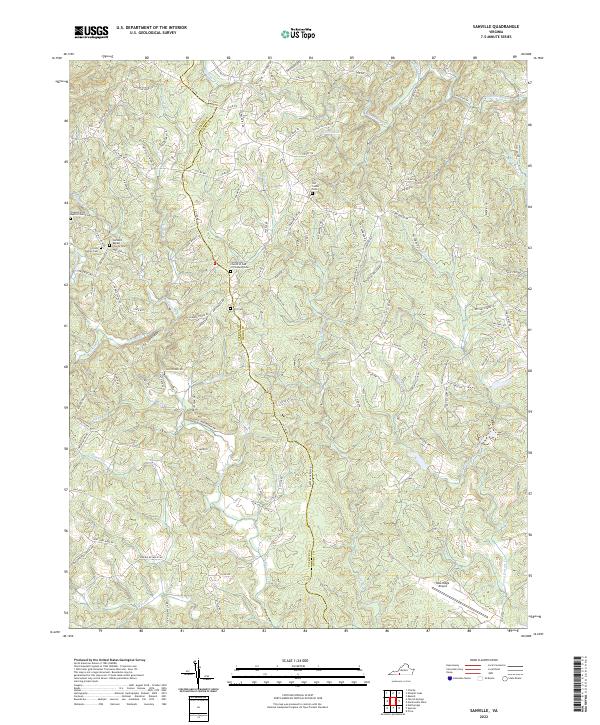
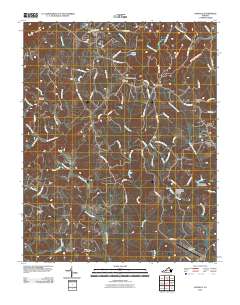
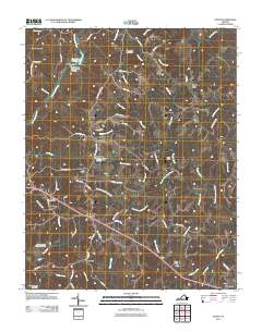
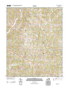
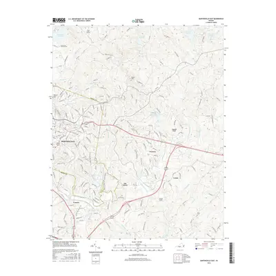
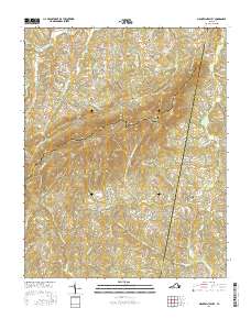
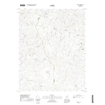
2022 Map of Sanville
USGS Topo · Published 2022About this map
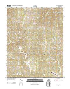
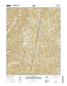
The N Mayo River and its numerous tributaries, including Bull Run and Horse Pasture Cr, define the drainage patterns along the border of Patrick and Henry Counties. This area of Virginia is characterized by a high density of small family and community burial grounds, such as the Foley Family Cem, Old Center Cem, and the Witt Cem near the settlement of Witt. These sites, often associated with local congregations like the Pleasant View Baptist Church Cem, provide a critical spatial record for genealogists and local historians.
Find a feature on this map
124 named features on this map. Tap any name to fly to it.
Don’t see what you’re looking for? This feature index may not catch every label — zoom into the map to look around manually.
Map Details
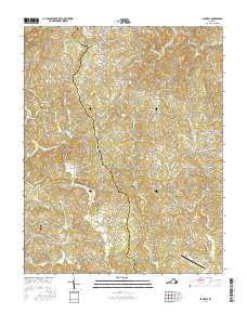
Editions of this 2022 Sanville Map
This is the sole edition of this map. No revisions or reprints were ever made.
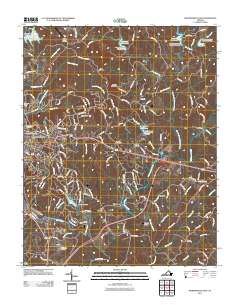
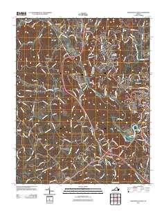
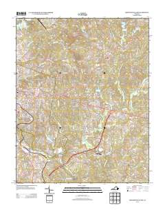
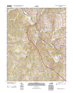
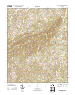
Historical Maps of Bassett Through Time
34 maps found

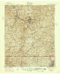
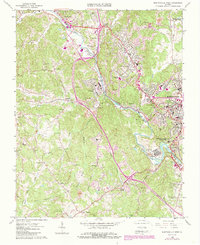
1924 Martinsville
Henry County, VA

1926 Martinsville
Henry County, VA
1927 Martinsville
Henry County, VA

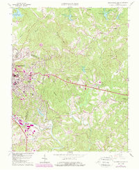
1944 Martinsville
Henry County, VA
1964 Martinsville East
Henry County, VA
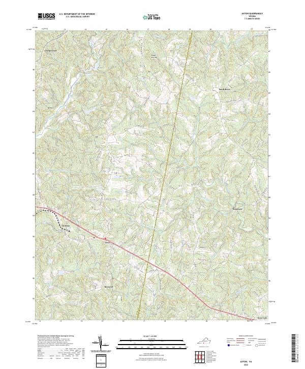
1965 Axton
Henry County, VA
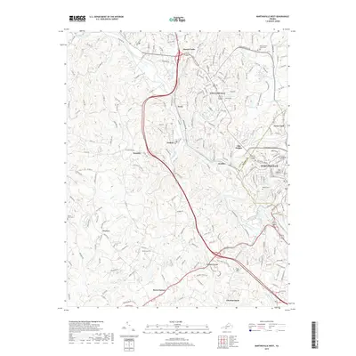
1965 Martinsville West
Henry County, VA
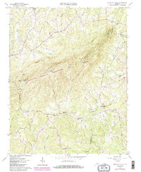
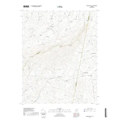
1965 Mountain Valley
Henry County, VA
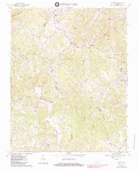
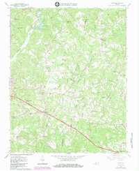
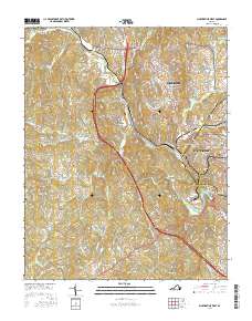
1967 Sanville
Henry County, VA
2010 Sanville
Henry County, VA
2011 Axton
Henry County, VA
2011 Martinsville East
Henry County, VA
2011 Martinsville West
Henry County, VA
2011 Mountain Valley
Henry County, VA
2013 Axton
Henry County, VA
2013 Martinsville East
Henry County, VA
2013 Martinsville West
Henry County, VA
2013 Mountain Valley
Henry County, VA
2013 Sanville
Henry County, VA
2016 Axton
Henry County, VA
2016 Martinsville East
Henry County, VA
2016 Martinsville West
Henry County, VA
2016 Mountain Valley
Henry County, VA
2016 Sanville
Henry County, VA
2019 Axton
Henry County, VA
2019 Martinsville East
Henry County, VA
2019 Martinsville West
Henry County, VA
2019 Mountain Valley
Henry County, VA
2019 Sanville
Henry County, VA
2022 Axton
Henry County, VA
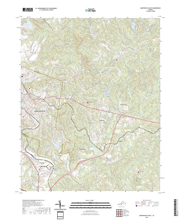
2022 Martinsville East
Henry County, VA
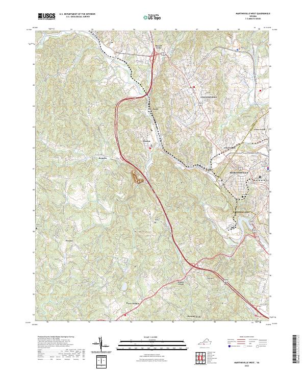
2022 Martinsville West
Henry County, VA
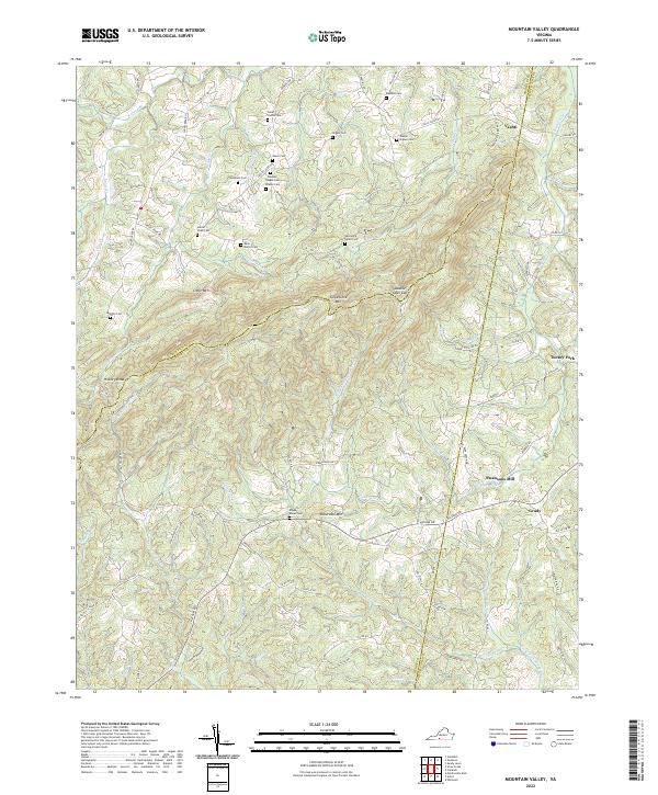
2022 Mountain Valley
Henry County, VA
2022 Sanville
Henry County, VA