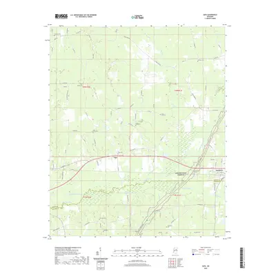
2020 Map of Sapa
USGS Topo · Published 2020About this map
Sapa and the western edge of Mathiston anchor this survey of the north-central Mississippi landscape along the Webster and Choctaw county line. The terrain is defined by a significant hydrological transition where the Big Black River has been extensively modified by the Big Black River Canal and the Spring Cr Canal. This engineering illustrates twentieth-century efforts to manage the river's floodplain for agricultural use, creating a distinct linear contrast to the meandering natural paths of Buttermilk Cr and Lick Cr.
Find a feature on this map
85 named features on this map. Tap any name to fly to it.
Don’t see what you’re looking for? This feature index may not catch every label — zoom into the map to look around manually.
Map Details
Editions of this 2020 Sapa Map
This is the sole edition of this map. No revisions or reprints were ever made.
Other maps of this area

1953 · Walthall
USGS Topo · 1:62,500

1953 · West Point
USGS Topo · 1:250,000

1958 · West Point
USGS Topo · 1:250,000

1963 · West Point
USGS Topo · 1:250,000

1966 · Tomnolen
USGS Topo · 1:24,000

1968 · Weir
USGS Topo · 1:62,500

1972 · Maben
USGS Topo · 1:24,000

1972 · Sapa
USGS Topo · 1:24,000

1972 · Hohenlinden
USGS Topo · 1:24,000

1972 · Mantee
USGS Topo · 1:24,000