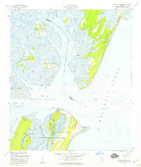
1954 Map of Sapelo Sound
USGS Topo · Published 1959About this map
Sapelo Sound dominates this mid-century coastal survey, acting as a natural gateway between the Atlantic and the intricate network of marshes and hammocks in McIntosh County. The landscape is defined by its transition from open ocean to a complex lattice of waterways like the South Newport River and Wahoo River. On the southern edge of the sound, the Blackbeard Island National Wildlife Refuge preserves a maritime forest habitat, featuring numerous artesian wells and interior freshwater features such as Frog Pond and Reynolds Duck Pond. The map reveals the strategic importance of the Intracoastal Waterway as it cuts through Johnson Creek, while the northern tip of Sapelo Island at High Point looks out over the vast tidal flats and the shifting sands of Dog Hammock Spit.
Find a feature on this map
40 named features on this map. Tap any name to fly to it.
Don’t see what you’re looking for? This feature index may not catch every label — zoom into the map to look around manually.
Map Details
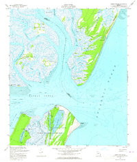
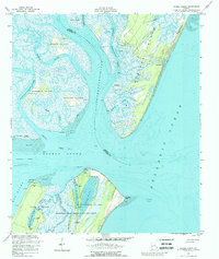
Editions of this 1954 Sapelo Sound Map
3 editions found
Other maps of this area

1920 · Sapelo River
USGS Topo · 1:62,500

1920 · Cabretta Island
USGS Topo · 1:62,500

1921 · Darien
USGS Topo · 1:62,500

1928 · St Catherines Island
USGS Topo · 1:62,500

1943 · St Catherines Island
USGS Topo · 1:62,500

1943 · Sapelo River
USGS Topo · 1:62,500

1944 · Cabretta Island
USGS Topo · 1:62,500

1945 · St. Catherine's Island
USGS Topo · 1:62,500

1945 · Sapelo River
USGS Topo · 1:62,500

1946 · Brunswick
USGS Topo · 1:250,000