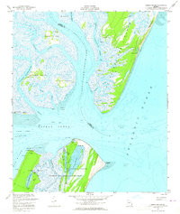
1954 Map of Sapelo Sound
USGS Topo · Published 1965About this map
Blackbeard Island National Wildlife Refuge anchors the southern portion of this coastal Georgia survey, documenting a landscape defined by intricate tidal networks and barrier islands. Situated along the Sapelo Sound, the map details a complex maritime environment where the Wahoo River and Barbour Island River meet the Atlantic Ocean. Numerous artesian wells are noted across the islands, indicating the importance of freshwater access in this salt-marsh region.
Find a feature on this map
49 named features on this map. Tap any name to fly to it.
Don’t see what you’re looking for? This feature index may not catch every label — zoom into the map to look around manually.
Map Details
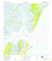
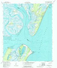
Editions of this 1954 Sapelo Sound Map
3 editions found
Other maps of this area

1920 · Sapelo River
USGS Topo · 1:62,500

1920 · Cabretta Island
USGS Topo · 1:62,500

1921 · Darien
USGS Topo · 1:62,500

1928 · St Catherines Island
USGS Topo · 1:62,500

1943 · St Catherines Island
USGS Topo · 1:62,500

1943 · Sapelo River
USGS Topo · 1:62,500

1944 · Cabretta Island
USGS Topo · 1:62,500

1945 · St. Catherine's Island
USGS Topo · 1:62,500

1945 · Sapelo River
USGS Topo · 1:62,500

1946 · Brunswick
USGS Topo · 1:250,000