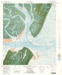
1979 Map of Sapelo Sound
USGS Topo · Published 1980About this map
Sapelo Sound serves as the focal point for this 1979 topographic-bathymetric study of the Georgia coast, where the South Newport River and Mud River meet the Atlantic Ocean. The landscape is dominated by a complex network of barrier islands and tidal marshes, including the heavily protected acreage of the Blackbeard Island National Wildlife Refuge and the Blackbeard Island Wilderness Area. Coastal researchers and historians can observe the intricate bathymetry of Experiment Shoal and Concord Shoal, alongside the shifting sands of Dog Hammock Spit. The map highlights the intersection of natural waterways and human navigation via the Intracoastal Waterway, which threads past Oldnor Island and Wahoo Island. Sparse settlements like Newport and Johnson are noted, primarily serving as reference points in this watery, ever-changing environment.
Find a feature on this map
43 named features on this map. Tap any name to fly to it.
Don’t see what you’re looking for? This feature index may not catch every label — zoom into the map to look around manually.
Map Details
Editions of this 1979 Sapelo Sound Map
2 editions found
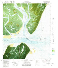
Other maps of this area

1920 · Sapelo River
USGS Topo · 1:62,500

1920 · Cabretta Island
USGS Topo · 1:62,500

1921 · Darien
USGS Topo · 1:62,500

1928 · St Catherines Island
USGS Topo · 1:62,500

1943 · St Catherines Island
USGS Topo · 1:62,500

1943 · Sapelo River
USGS Topo · 1:62,500

1944 · Cabretta Island
USGS Topo · 1:62,500

1945 · St. Catherine's Island
USGS Topo · 1:62,500

1945 · Sapelo River
USGS Topo · 1:62,500

1946 · Brunswick
USGS Topo · 1:250,000