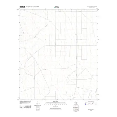
2010 Map of Saragosa NW
USGS Topo · Published 2010About this map
Ninemile Draw and Jones Draw carve a distinct drainage pattern across this arid stretch of Reeves County, defining the local topography as seen in the first decade of the 21st century. The map reveals a highly structured grid of county roads, such as Co Rd 128 and Co Rd 120, which intersect the open landscape to serve isolated ranching interests. This road network, including the diagonal path of Ranch Rd 2903, illustrates how modern land division and transportation have adapted to the intermittent watercourses of the West Texas desert. Further south, the meandering path of Cherry Creek provides a natural contrast to the geometric precision of Barrilla Rd and other local routes. The spatial arrangement of these features underscores the region's reliance on managed access across large, sparsely populated tracts of land.
Find a feature on this map
15 named features on this map. Tap any name to fly to it.
Don’t see what you’re looking for? This feature index may not catch every label — zoom into the map to look around manually.
Map Details
Editions of this 2010 Saragosa NW Map
This is the sole edition of this map. No revisions or reprints were ever made.
Other maps of this area

1921 · Toyah
USGS Topo · 1:125,000

1954 · Pecos
USGS Topo · 1:250,000

1955 · Saragosa
USGS Topo · 1:62,500

1957 · Pecos
USGS Topo · 1:250,000

1970 · Hermosa SW
USGS Topo · 1:24,000

1970 · Florenzo Hill
USGS Topo · 1:24,000

1970 · Toyah
USGS Topo · 1:24,000
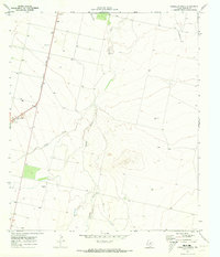
1970 · Verhalen South
USGS Topo · 1:24,000
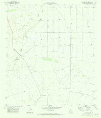
1970 · Saragosa NW
USGS Topo · 1:24,000
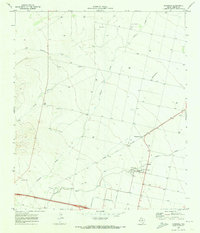
1970 · Saragosa
USGS Topo · 1:24,000