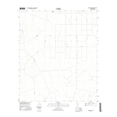
2016 Map of Saragosa NW
USGS Topo · Published 2016About this map
Jones Draw and Ninemile Draw define the drainage patterns across this arid portion of Reeves County during the mid-2010s. The landscape is characterized by a sparse, geometric grid of county roads, such as Co Rd 124 and Co Rd 332, which cut across the high desert terrain. In the southeast, the course of Cherry Cr provides a natural break in the structured road network, while Ranch Rd 2903 serves as the primary corridor through the western sections. This survey captures a region primarily shaped by ranching infrastructure and intermittent watercourses, where ephemeral draws like these are the most significant landmarks for navigating the open country.
Find a feature on this map
15 named features on this map. Tap any name to fly to it.
Don’t see what you’re looking for? This feature index may not catch every label — zoom into the map to look around manually.
Map Details
Editions of this 2016 Saragosa NW Map
This is the sole edition of this map. No revisions or reprints were ever made.
Other maps of this area

1921 · Toyah
USGS Topo · 1:125,000

1954 · Pecos
USGS Topo · 1:250,000

1955 · Saragosa
USGS Topo · 1:62,500

1957 · Pecos
USGS Topo · 1:250,000

1970 · Hermosa SW
USGS Topo · 1:24,000

1970 · Florenzo Hill
USGS Topo · 1:24,000

1970 · Toyah
USGS Topo · 1:24,000
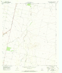
1970 · Verhalen South
USGS Topo · 1:24,000
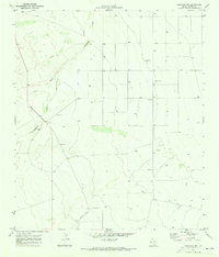
1970 · Saragosa NW
USGS Topo · 1:24,000
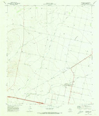
1970 · Saragosa
USGS Topo · 1:24,000