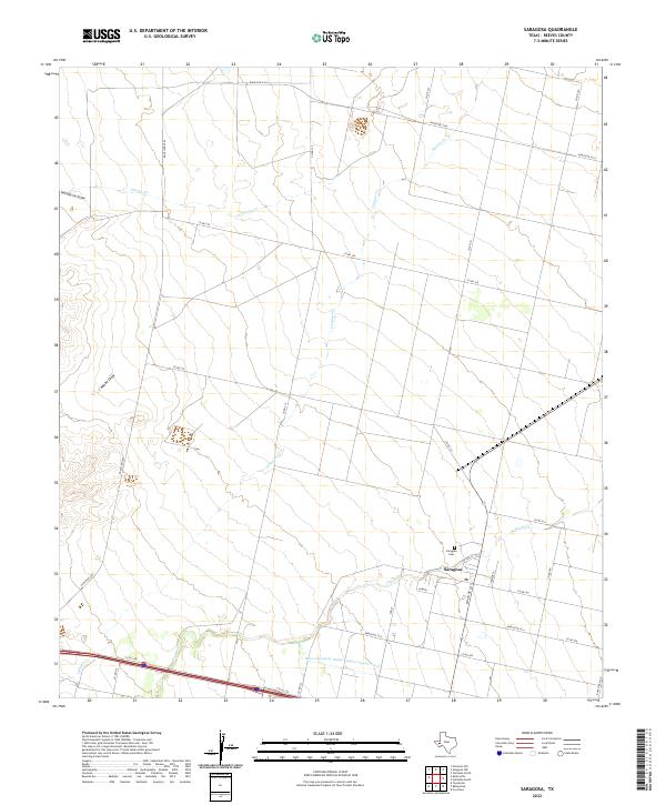
2022 Map of Saragosa
USGS Topo · Published 2022About this map
Saragosa serves as the focal point of this West Texas landscape, where the intersection of Ranch Rd 1215 and Ranch Rd 2903 defines the local transport hub. The town's layout is centered around W Main and Iglesia St, with the Saragosa Cem located just to the north. This area is characterized by a managed hydraulic system, notably the Reeves County Water Improvement Canal which cuts across the southern portion of the quadrangle.
Find a feature on this map
27 named features on this map. Tap any name to fly to it.
Don’t see what you’re looking for? This feature index may not catch every label — zoom into the map to look around manually.
Map Details
Editions of this 2022 Saragosa Map
This is the sole edition of this map. No revisions or reprints were ever made.
Other maps of this area

1894 · Fort Davis
USGS Topo · 1:125,000

1897 · Fort Davis
USGS Topo · 1:125,000

1921 · Toyah
USGS Topo · 1:125,000

1954 · Pecos
USGS Topo · 1:250,000

1954 · Fort Stockton
USGS Topo · 1:250,000

1955 · Saragosa
USGS Topo · 1:62,500

1957 · Pecos
USGS Topo · 1:250,000

1958 · Fort Stockton
USGS Topo · 1:250,000

1970 · Florenzo Hill
USGS Topo · 1:24,000
1970 · Verhalen South
USGS Topo · 1:24,000