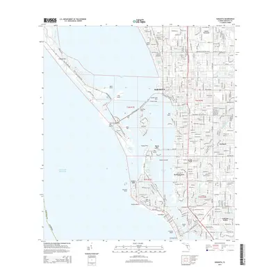
2015 Map of Sarasota
USGS Topo · Published 2015About this map
Sarasota and its intricate barrier island network define this coastal landscape, where the Intracoastal Waterway threads between the mainland and the Gulf of Mexico. The area’s mid-20th-century development is visible through the established street grids of Southgate and the planned layouts of Bird Key and Saint Armands Key. Significant cultural institutions, such as the Ringling Coll of Art and Design, occupy prominent positions near Whitaker Bayou, while Sarasota Memorial Park and the varied neighborhoods of North Sarasota and South Sarasota illustrate the city's inland expansion.
Find a feature on this map
59 named features on this map. Tap any name to fly to it.
Don’t see what you’re looking for? This feature index may not catch every label — zoom into the map to look around manually.
Map Details
Editions of this 2015 Sarasota Map
This is the sole edition of this map. No revisions or reprints were ever made.
Other maps of this area

1943 · Laurel
USGS Topo · 1:24,000

1944 · Bird Keys
USGS Topo · 1:31,680

1944 · Sarasota
USGS Topo · 1:31,680

1944 · Laurel
USGS Topo · 1:31,680

1944 · Lorraine
USGS Topo · 1:31,680

1944 · Bradenton Beach
USGS Topo · 1:31,680

1947 · Bradenton
USGS Topo · 1:24,000

1947 · Bee Ridge
USGS Topo · 1:24,000

1956 · Tampa
USGS Topo · 1:250,000

1959 · Tampa
USGS Topo · 1:250,000