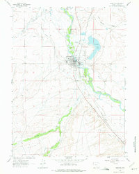
1982 Map of Saratoga
USGS Topo · Published 1982About this map
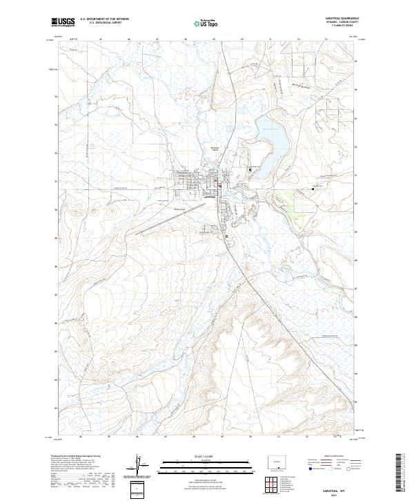
Saratoga and the North Platte River anchor the high-altitude landscape of southern Wyoming in the early 1980s. This survey detail reveals the intersection of industrial legacy and wild lands, notably featuring the Ferris-Haggarty Mine in the Sierra Madre and the expansive Medicine Bow National Forest. The map documents the hydrological complex of the Medicine Bow Mountains, including Rob Roy Reservoir and Hog Park Reservoir, which serve as vital water resources for the region.
Find a feature on this map
61 named features on this map. Tap any name to fly to it.
Don’t see what you’re looking for? This feature index may not catch every label — zoom into the map to look around manually.
Map Details
Editions of this 1982 Saratoga Map
This is the sole edition of this map. No revisions or reprints were ever made.
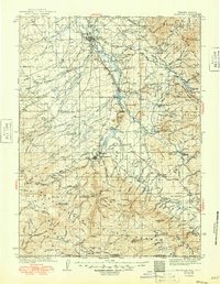
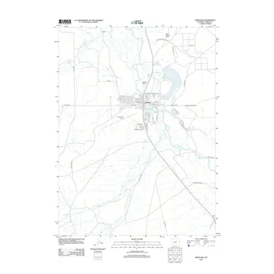
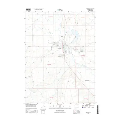
Historical Maps of Saratoga Through Time
7 maps found