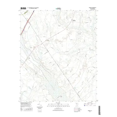
2017 Map of Sardinia
USGS Topo · Published 2017About this map
Black River meanders through this portion of Clarendon County, defining a landscape of low-lying wetlands and traditional agricultural settlements. The rural character of the region is centered on the crossroads of Sardinia and New Zion, where local life is anchored by family landmarks and historical resting places such as Ebenezer Cem and Hodges Cem. The intricate network of water includes Puddin Swamp, Trustless Br, and Tearcoat Br, illustrating the hydrological complexity of the coastal plain before these tributaries reach the larger river system. Local transit patterns are reflected in named points like Beards Crossroads and Gilliard Crossing, which historically served as vital links for the community. The map also captures distinctive geographic features like Bullhead Bay and Cypress Lake, providing a clear record of the area's natural drainage and property boundaries.
Find a feature on this map
54 named features on this map. Tap any name to fly to it.
Don’t see what you’re looking for? This feature index may not catch every label — zoom into the map to look around manually.
Map Details
Editions of this 2017 Sardinia Map
This is the sole edition of this map. No revisions or reprints were ever made.
Other maps of this area

1920 · Mayesville
USGS Topo · 1:48,000

1920 · Manning
USGS Topo · 1:48,000

1921 · Manning
USGS Topo · 1:62,500

1921 · Mayesville
USGS Topo · 1:62,500

1943 · Mayesville
USGS Topo · 1:62,500

1944 · Manning
USGS Topo · 1:62,500

1946 · Kingstree
USGS Topo · 1:62,500

1946 · Lake City
USGS Topo · 1:62,500

1949 · Georgetown
USGS Topo · 1:250,000

1954 · Augusta
USGS Topo · 1:250,000