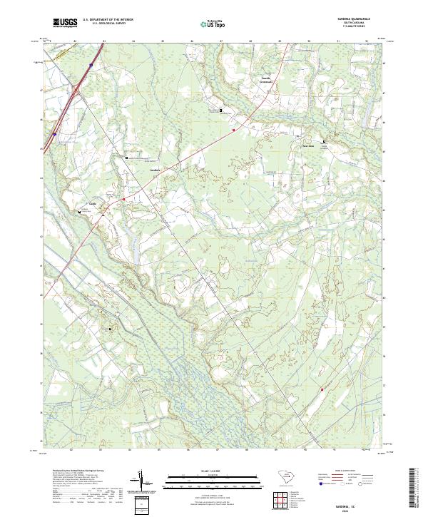
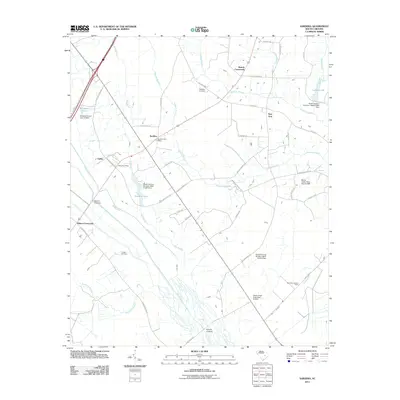
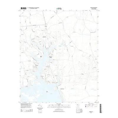
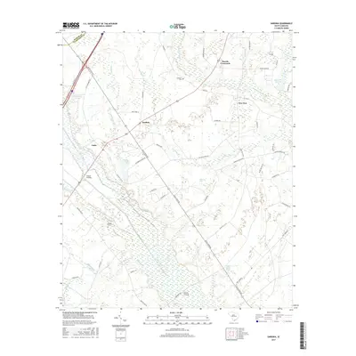
2024 Map of Sardinia
USGS Topo · Published 2024About this map
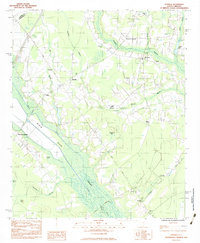
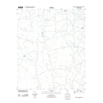
Sardinia and New Zion anchor this landscape in Clarendon County, where the low-lying terrain of the South Carolina Coastal Plain is defined by intricate wetlands and traditional crossroads. The Black River meanders through the western portion of the map, flanked by numerous "bays" and swamps typical of the region, including Bullhead Bay and Cuno Bay. These oval-shaped depressions, along with Puddin Swamp, dictate the placement of roads and farmstead boundaries, creating a distinctive pattern of rural settlement.
Find a feature on this map
59 named features on this map. Tap any name to fly to it.
Don’t see what you’re looking for? This feature index may not catch every label — zoom into the map to look around manually.
Map Details
Editions of this 2024 Sardinia Map
This is the sole edition of this map. No revisions or reprints were ever made.
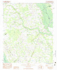
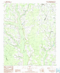
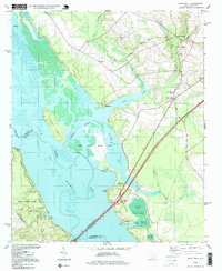
Historical Maps of Gable Through Time
37 maps found
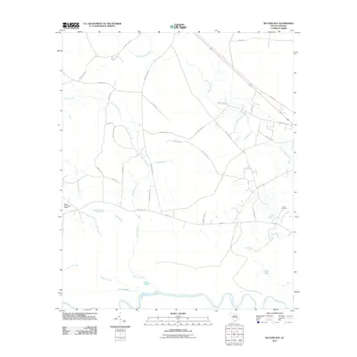
1979 Butlers Bay
Clarendon County, SC
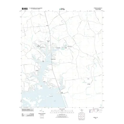
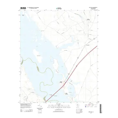
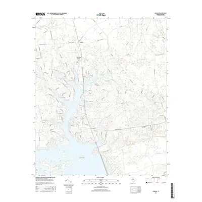
1980 Jordan
Clarendon County, SC
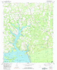
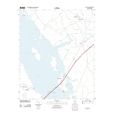
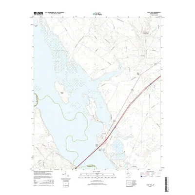
1980 Saint Paul
Clarendon County, SC
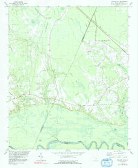
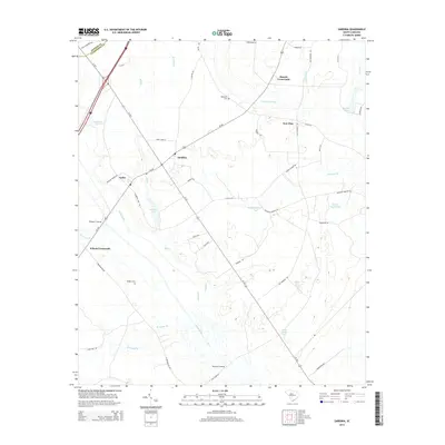
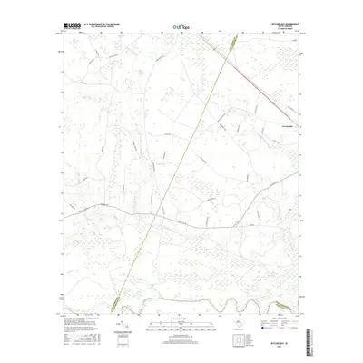
1983 Sardinia
Clarendon County, SC
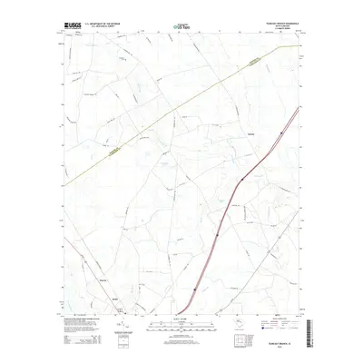
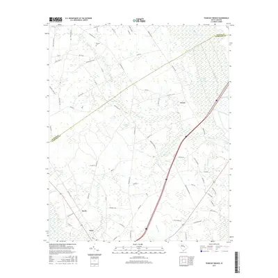
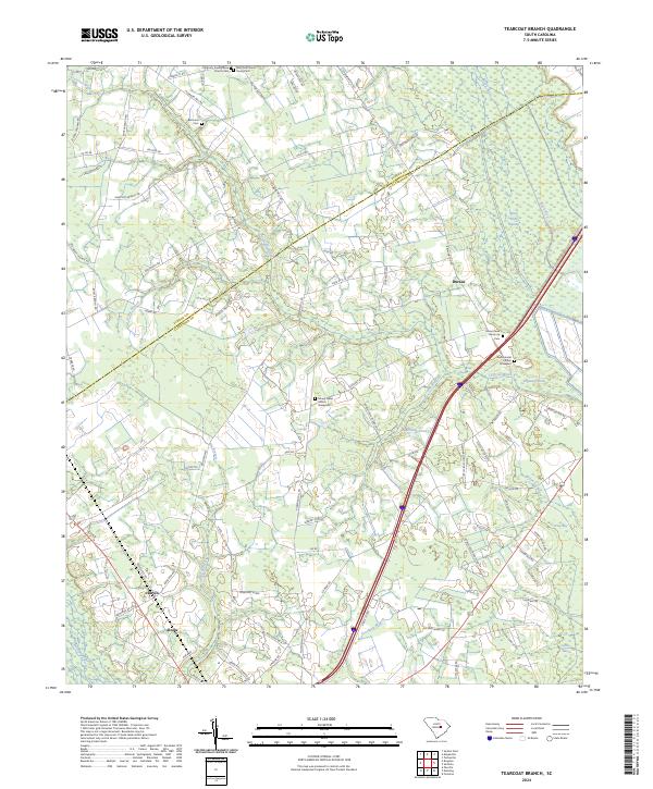
1983 Tearcoat Branch
Clarendon County, SC
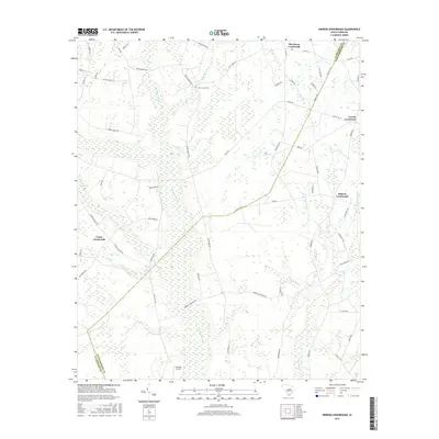
1990 Hebron Crossroads
Clarendon County, SC
1994 Saint Paul
Clarendon County, SC
2011 Butlers Bay
Clarendon County, SC
2011 Hebron Crossroads
Clarendon County, SC
2011 Jordan
Clarendon County, SC
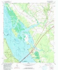
2011 Saint Paul
Clarendon County, SC
2011 Sardinia
Clarendon County, SC
2011 Tearcoat Branch
Clarendon County, SC
2014 Butlers Bay
Clarendon County, SC
2014 Hebron Crossroads
Clarendon County, SC
2014 Jordan
Clarendon County, SC
2014 Saint Paul
Clarendon County, SC
2014 Sardinia
Clarendon County, SC
2014 Tearcoat Branch
Clarendon County, SC
2017 Butlers Bay
Clarendon County, SC
2017 Hebron Crossroads
Clarendon County, SC
2017 Jordan
Clarendon County, SC
2017 Saint Paul
Clarendon County, SC
2017 Sardinia
Clarendon County, SC
2017 Tearcoat Branch
Clarendon County, SC
2020 Butlers Bay
Clarendon County, SC
2020 Hebron Crossroads
Clarendon County, SC
2020 Jordan
Clarendon County, SC
2020 Saint Paul
Clarendon County, SC
2020 Sardinia
Clarendon County, SC
2020 Tearcoat Branch
Clarendon County, SC
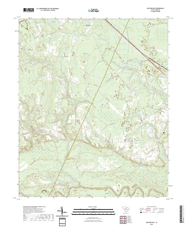
2024 Butlers Bay
Clarendon County, SC
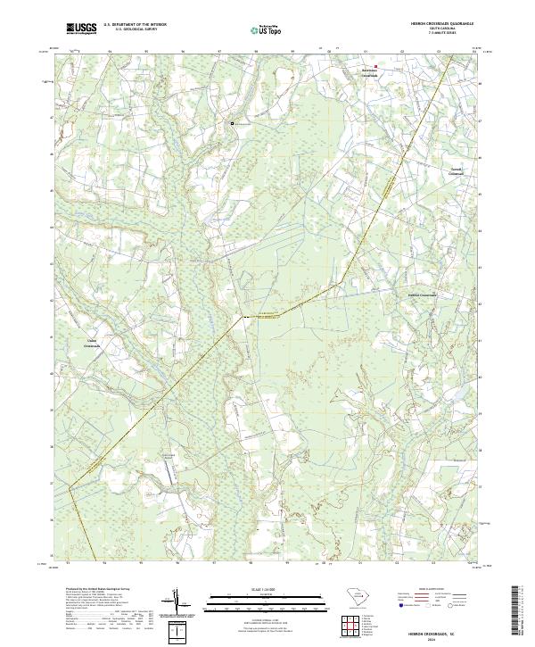
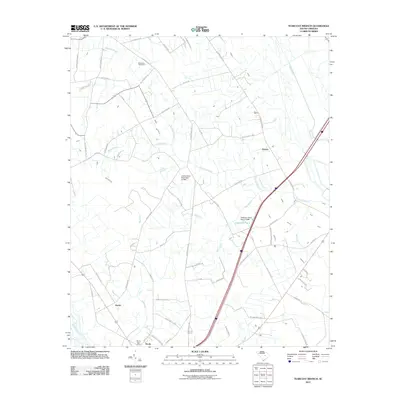
2024 Hebron Crossroads
Clarendon County, SC
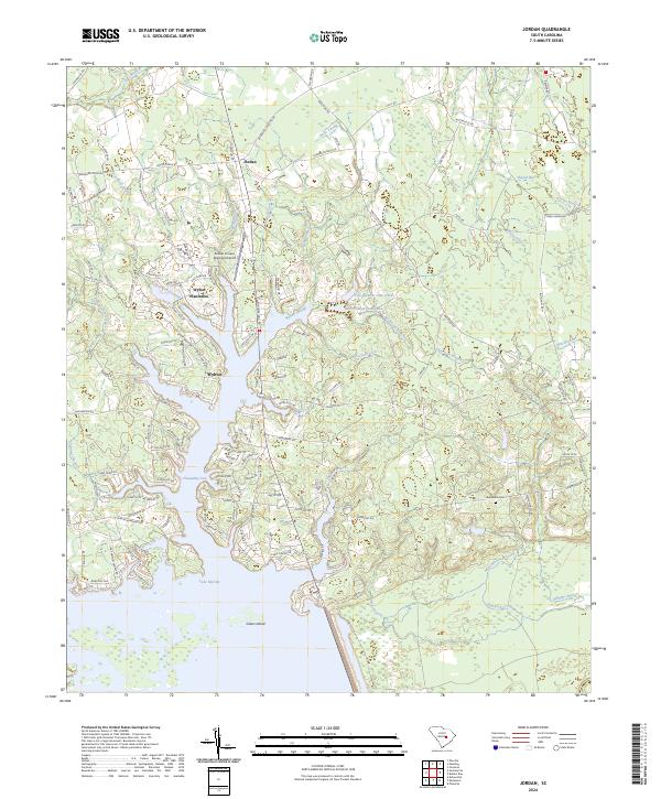
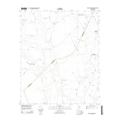
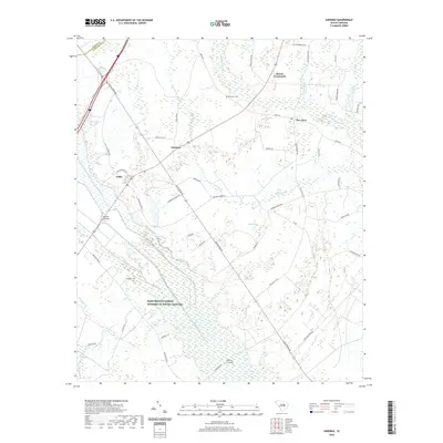
2024 Jordan
Clarendon County, SC
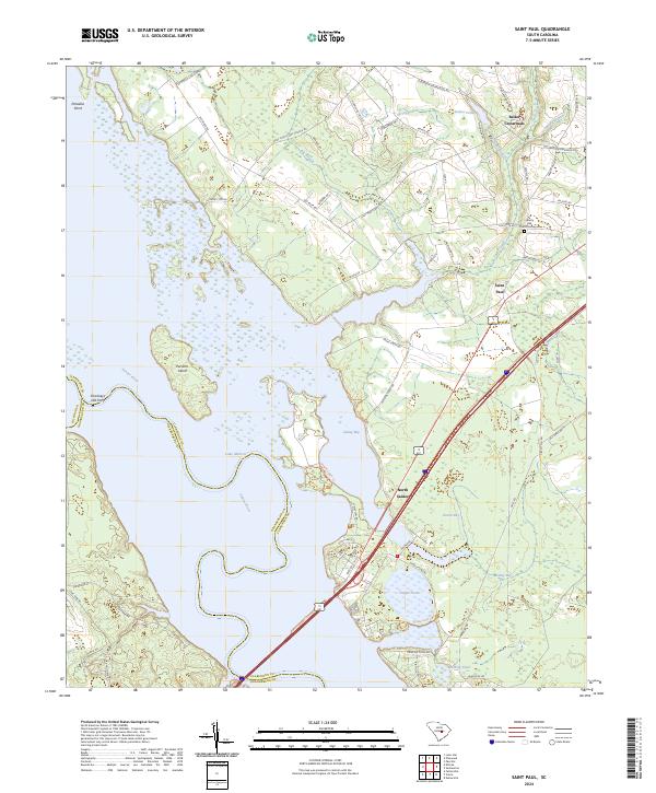
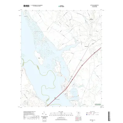
2024 Saint Paul
Clarendon County, SC
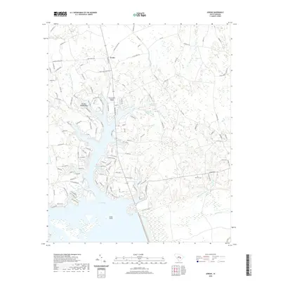
2024 Sardinia
Clarendon County, SC
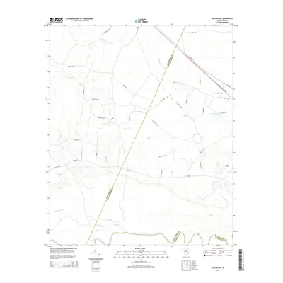
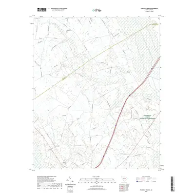
2024 Tearcoat Branch
Clarendon County, SC