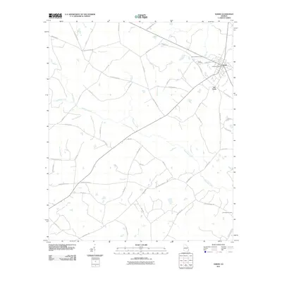
2011 Map of Sardis
USGS Topo · Published 2011About this map
The town of Sardis and the nearby site of Old Sardis anchor this rural Burke County landscape, where the settlement pattern follows a network of family-named roads and natural watercourses. The town center is defined by the Sardis Post Office and several local burial grounds, including the Beech Branch Cemetery and Sardis Cemetery to the northwest. The surrounding countryside is heavily segmented by the tributaries of the Savannah River basin, most notably the wide reach of Beaverdam Creek and the southern flow of Horse Creek.
Find a feature on this map
56 named features on this map. Tap any name to fly to it.
Don’t see what you’re looking for? This feature index may not catch every label — zoom into the map to look around manually.
Map Details
Editions of this 2011 Sardis Map
This is the sole edition of this map. No revisions or reprints were ever made.
Other maps of this area

1920 · Ellenton
USGS Topo · 1:48,000

1920 · Hilltonia
USGS Topo · 1:62,500

1920 · Millen
USGS Topo · 1:62,500

1920 · Greens Cut
USGS Topo · 1:62,500

1921 · Ellenton
USGS Topo · 1:62,500

1943 · Hilltonia
USGS Topo · 1:62,500

1943 · Greens Cut
USGS Topo · 1:62,500

1943 · Millen
USGS Topo · 1:62,500

1943 · Augusta East
USGS Topo · 1:125,000

1943 · Millen
USGS Topo · 1:125,000