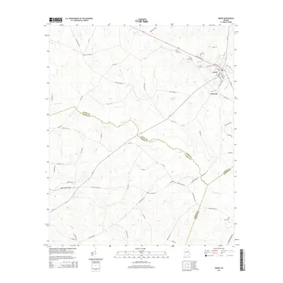
2014 Map of Sardis
USGS Topo · Published 2014About this map
Sardis and Old Sardis anchor this East Georgia landscape, where the street grid of the main town contrasts with the sprawling agricultural lands of the surrounding counties. The map records a complex network of county boundaries, where Beaverdam Cr forms the dividing line between Burke, Jenkins, and Screven counties. Local history is deeply rooted in the several recorded burial grounds, including the Beech Branch Cem near the marshy waters of Boggy Gut, and the Sardis Cem located within the town limits. A dense network of local roads such as Doyle Rd and Joyner-Oglesby Rd connects family homesteads and farms to the regional thoroughfares of Ga-24 and Ga-23. Numerous small watercourses, including Slough Br, Horse Cr, and Peters Br, illustrate the drainage patterns of this rural region, while the southern reaches feature the more isolated Ellis Chapel Cem.
Find a feature on this map
75 named features on this map. Tap any name to fly to it.
Don’t see what you’re looking for? This feature index may not catch every label — zoom into the map to look around manually.
Map Details
Editions of this 2014 Sardis Map
This is the sole edition of this map. No revisions or reprints were ever made.
Other maps of this area

1920 · Ellenton
USGS Topo · 1:48,000

1920 · Hilltonia
USGS Topo · 1:62,500

1920 · Millen
USGS Topo · 1:62,500

1920 · Greens Cut
USGS Topo · 1:62,500

1921 · Ellenton
USGS Topo · 1:62,500

1943 · Hilltonia
USGS Topo · 1:62,500

1943 · Greens Cut
USGS Topo · 1:62,500

1943 · Millen
USGS Topo · 1:62,500

1943 · Augusta East
USGS Topo · 1:125,000

1943 · Millen
USGS Topo · 1:125,000