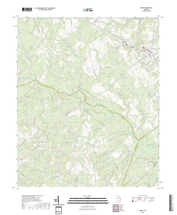
2024 Map of Sardis
USGS Topo · Published 2024About this map
Sardis serves as the primary hub of this East Georgia landscape, where the local economy and social life are anchored by long-standing congregations and their adjacent burial grounds. The spiritual geography of the area is defined by landmarks like the Beech Branch Baptist Church and Sardis Baptist Church, each with its own historic Cemetery. To the south, the Ellis Chapel United Methodist Church Cem further illustrates the pattern of rural settlement where community life centered on these local institutions.
Find a feature on this map
76 named features on this map. Tap any name to fly to it.
Don’t see what you’re looking for? This feature index may not catch every label — zoom into the map to look around manually.
Map Details
Editions of this 2024 Sardis Map
This is the sole edition of this map. No revisions or reprints were ever made.
Other maps of this area

1920 · Ellenton
USGS Topo · 1:48,000

1920 · Hilltonia
USGS Topo · 1:62,500

1920 · Millen
USGS Topo · 1:62,500

1920 · Greens Cut
USGS Topo · 1:62,500

1921 · Ellenton
USGS Topo · 1:62,500

1943 · Hilltonia
USGS Topo · 1:62,500

1943 · Greens Cut
USGS Topo · 1:62,500

1943 · Millen
USGS Topo · 1:62,500

1943 · Augusta East
USGS Topo · 1:125,000

1943 · Millen
USGS Topo · 1:125,000