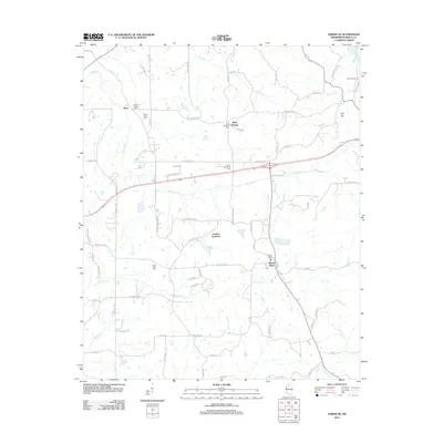
2012 Map of Sardis SE
USGS Topo · Published 2012About this map
Terza and Mount Olivet anchor this rural Panola County landscape, characterized by a dense network of country roads and numerous historic burial grounds. The area is defined by the winding paths of Hotopha Cr and Johnson Cr, which dictate the local topography and the placement of long-standing family and community landmarks. Researchers will find a significant concentration of local heritage sites, including the Black Jack Cem, Mount Gillian Cem, and New Hope Cem, reflecting the genealogical depth of these small Mississippi communities.
Find a feature on this map
80 named features on this map. Tap any name to fly to it.
Don’t see what you’re looking for? This feature index may not catch every label — zoom into the map to look around manually.
Map Details
Editions of this 2012 Sardis SE Map
This is the sole edition of this map. No revisions or reprints were ever made.
Other maps of this area

1940 · Oxford
USGS Topo · 1:62,500

1943 · Oxford
USGS Topo · 1:62,500

1952 · Sardis
USGS Topo · 1:62,500

1953 · Sardis
USGS Topo · 1:62,500

1954 · Oakland
USGS Topo · 1:62,500

1954 · Water Valley
USGS Topo · 1:62,500

1954 · Water Valley West
USGS Topo · 1:24,000

1955 · Water Valley
USGS Topo · 1:62,500

1956 · Tupelo
USGS Topo · 1:250,000

1958 · Tupelo
USGS Topo · 1:250,000