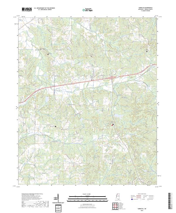
2024 Map of Sardis SE
USGS Topo · Published 2024About this map
Hotopha Creek and Jones Creek wind through this rural Panola County landscape, where family legacy is preserved in numerous community burial grounds. Several historic cemeteries are clustered here, including Mount Gillian Cem, Mount Terza Cem, and Bluff Springs Cem, marking the long-established settlements of this North Mississippi region. The terrain is defined by a dense network of secondary roads and local corridors like Central Academy Rd and Springport Rd, which link the various townships across the land divisions of t9s r6w and t8s r5w. Along the southern reaches, Johnson Creek and Goodwin Creek drain the undulating hills, while larger sites such as Forrest Memorial Park provide modern points of interest amidst the older agrarian footprint.
Find a feature on this map
73 named features on this map. Tap any name to fly to it.
Don’t see what you’re looking for? This feature index may not catch every label — zoom into the map to look around manually.
Map Details
Editions of this 2024 Sardis SE Map
This is the sole edition of this map. No revisions or reprints were ever made.
Other maps of this area

1940 · Oxford
USGS Topo · 1:62,500

1943 · Oxford
USGS Topo · 1:62,500

1952 · Sardis
USGS Topo · 1:62,500

1953 · Sardis
USGS Topo · 1:62,500

1954 · Oakland
USGS Topo · 1:62,500

1954 · Water Valley
USGS Topo · 1:62,500

1954 · Water Valley West
USGS Topo · 1:24,000

1955 · Water Valley
USGS Topo · 1:62,500

1956 · Tupelo
USGS Topo · 1:250,000

1958 · Tupelo
USGS Topo · 1:250,000