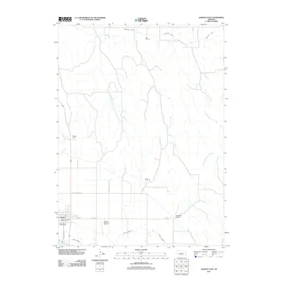
2011 Map of Sargent East
USGS Topo · Published 2011About this map
The Middle Loup River winds through the southwestern corner of this Custer County landscape, anchoring a rural economy defined by an extensive network of irrigation infrastructure. The Taylor-Ord Canal and Canal Number 2 cut across the terrain, reflecting the vital role of water management in Nebraska's agricultural history. The town of Sargent serves as the local hub, centered at the intersection of Broadway St and E Main St, where the Sargent Post Office remains a central landmark for the community.
Find a feature on this map
19 named features on this map. Tap any name to fly to it.
Don’t see what you’re looking for? This feature index may not catch every label — zoom into the map to look around manually.
Map Details
Editions of this 2011 Sargent East Map
This is the sole edition of this map. No revisions or reprints were ever made.
Other maps of this area

1952 · Burwell
USGS Topo · 1:24,000

1952 · Sargent East
USGS Topo · 1:24,000

1952 · Sargent SE
USGS Topo · 1:24,000

1952 · Sargent West
USGS Topo · 1:24,000

1952 · Comstock
USGS Topo · 1:24,000

1952 · Taylor SE
USGS Topo · 1:24,000

1952 · Sargent SW
USGS Topo · 1:24,000

1952 · Comstock NW
USGS Topo · 1:24,000

1952 · Taylor
USGS Topo · 1:24,000

1955 · Broken Bow
USGS Topo · 1:250,000