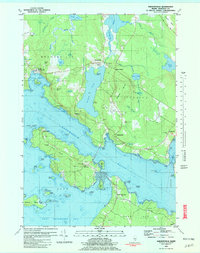
1981 Map of Sargentville
USGS Topo · Published 1982About this map
The tidal waters of Eggemoggin Reach and the Bagaduce River dominate this coastal landscape on the Maine shore. Settlement is concentrated in the historic villages of Brooksville, Sedgwick, and Sargentville, where the terrestrial geography is defined by prominent heights like Caterpillar Mtn and Winche Mtn. The map reveals a community deeply tied to both the land and sea, featuring numerous coastal landmarks such as Pumpkin Island and Byard Point.
Find a feature on this map
92 named features on this map. Tap any name to fly to it.
Don’t see what you’re looking for? This feature index may not catch every label — zoom into the map to look around manually.
Map Details
Editions of this 1981 Sargentville Map
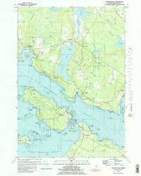
2 editions found
Other maps of this area

1902 · Castine
USGS Topo · 1:62,500

1904 · Deer Isle
USGS Topo · 1:62,500

1904 · Castine
USGS Topo · 1:62,500

1904 · Bluehill
USGS Topo · 1:62,500

1904 · Vinalhaven
USGS Topo · 1:62,500

1905 · Penobscot Bay
USGS Topo · 1:125,000

1941 · Castine
USGS Topo · 1:62,500

1941 · Vinalhaven
USGS Topo · 1:62,500

1942 · Deer Isle
USGS Topo · 1:62,500
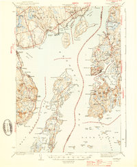
1943 · Castine
USGS Topo · 1:62,500