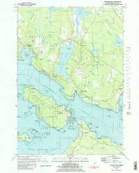
1981 Map of Sargentville
USGS Topo · Published 1982About this map
Eggemoggin Reach separates the mainland from Little Deer Isle and Deer Isle in this coastal Maine survey. The maritime character of the region is evident in the dense network of islands and coves, from Pumpkin Island at the western entrance to the reach to the sheltered waters of Billings Cove. On the mainland, the settlements of Sargentville, Brooksville, and Sedgwick are connected by winding roads that skirt the edges of Walker Pond and the Bagaduce River.
Find a feature on this map
96 named features on this map. Tap any name to fly to it.
Don’t see what you’re looking for? This feature index may not catch every label — zoom into the map to look around manually.
Map Details
Editions of this 1981 Sargentville Map
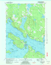
2 editions found
Other maps of this area

1902 · Castine
USGS Topo · 1:62,500

1904 · Deer Isle
USGS Topo · 1:62,500

1904 · Castine
USGS Topo · 1:62,500

1904 · Bluehill
USGS Topo · 1:62,500

1904 · Vinalhaven
USGS Topo · 1:62,500

1905 · Penobscot Bay
USGS Topo · 1:125,000

1941 · Castine
USGS Topo · 1:62,500

1941 · Vinalhaven
USGS Topo · 1:62,500

1942 · Deer Isle
USGS Topo · 1:62,500
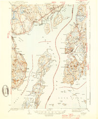
1943 · Castine
USGS Topo · 1:62,500