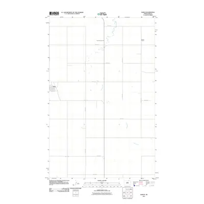
2011 Map of Sarles
USGS Topo · Published 2011About this map
Sarles stands as the primary settlement on this northern prairie landscape, characterized by its grid of residential streets including Calvin St, Antler St, and Sawyer St. The surrounding countryside is defined by the section-line road network of North Dakota's borderlands, where Cypress Creek meanders north through open terrain. Genealogists and local historians will find the Woodbridge Cemetery positioned along 108th St NE, serving as a central point of record for the area's rural population. Further east, the Weston Airport provides a localized aviation hub, reflecting the vast distances typical of this agricultural region near the international boundary.
Find a feature on this map
21 named features on this map. Tap any name to fly to it.
Don’t see what you’re looking for? This feature index may not catch every label — zoom into the map to look around manually.
Map Details
Editions of this 2011 Sarles Map
This is the sole edition of this map. No revisions or reprints were ever made.
Other maps of this area

1953 · Devils Lake
USGS Topo · 1:250,000

1956 · Devils Lake
USGS Topo · 1:250,000

1969 · Rock Lake NE
USGS Topo · 1:24,000

1970 · Sarles NE
USGS Topo · 1:24,000

1970 · Calvin
USGS Topo · 1:24,000

1970 · Sarles SE
USGS Topo · 1:24,000

1970 · Sarles
USGS Topo · 1:24,000

1970 · Rock Lake SE
USGS Topo · 1:24,000

1985 · Langdon
USGS Topo · 1:100,000

1985 · Rock Lake
USGS Topo · 1:100,000